 Thought we’d start this post with a bit of whimsy. Every couple of weeks we drive into the town of Loa (about 30 miles away) to shop at a real grocery store. The Chuckwagon in Torrey is good for the basics…milk, eggs, bread...but very pricey for every
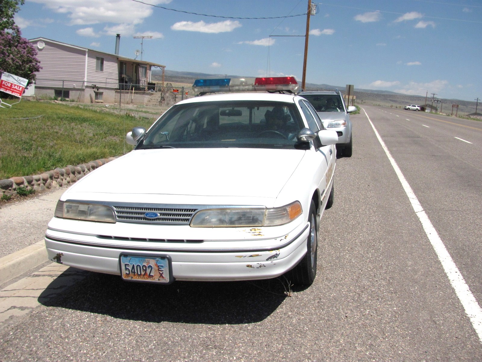
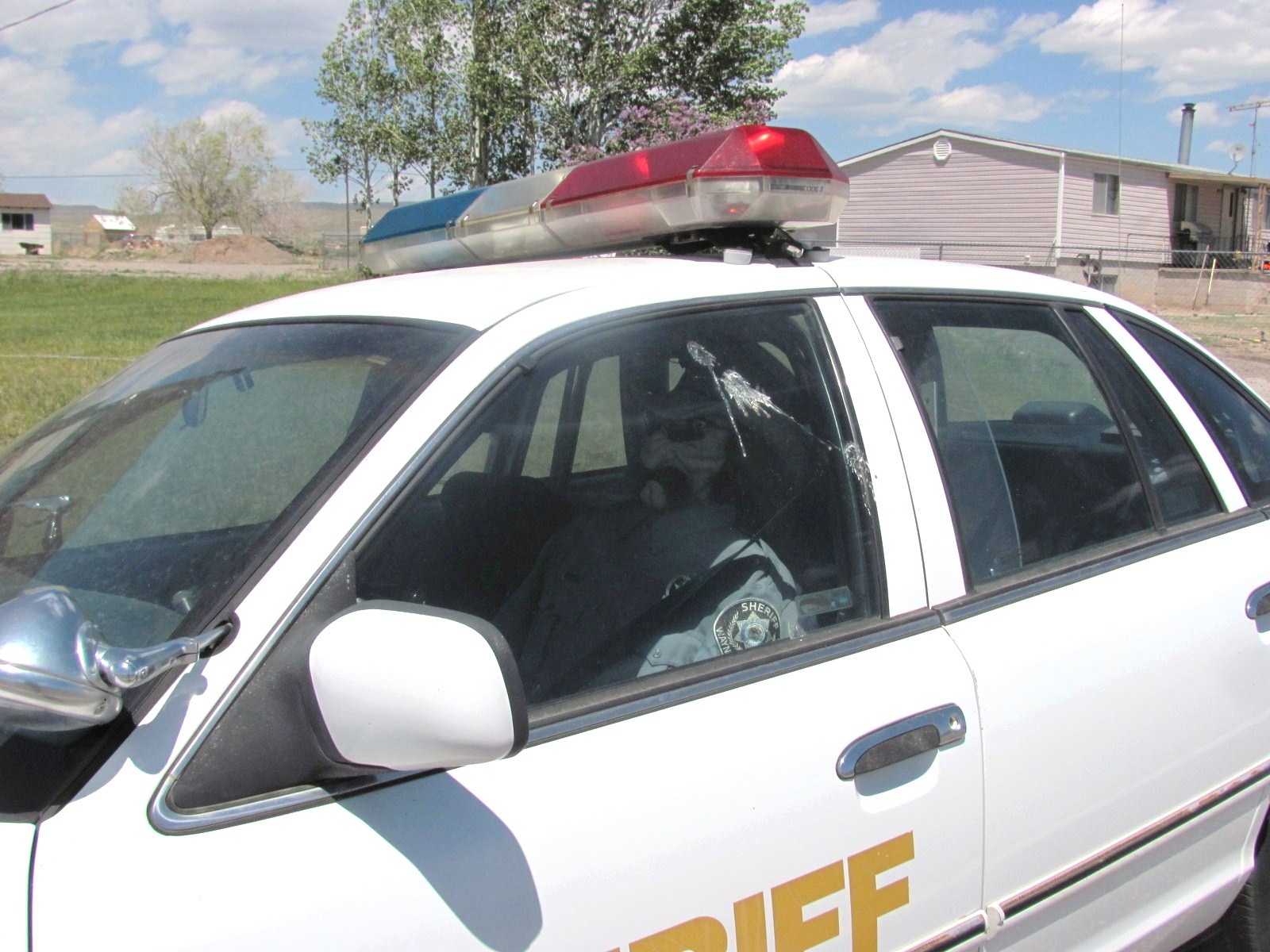 thing else. Before we left this week someone told us about a funny sight at the far end of town. Seems there is a sheriff’s car parked on the street (exact location changes from time to time) in which there sits a dummy sheriff! What a hoot!
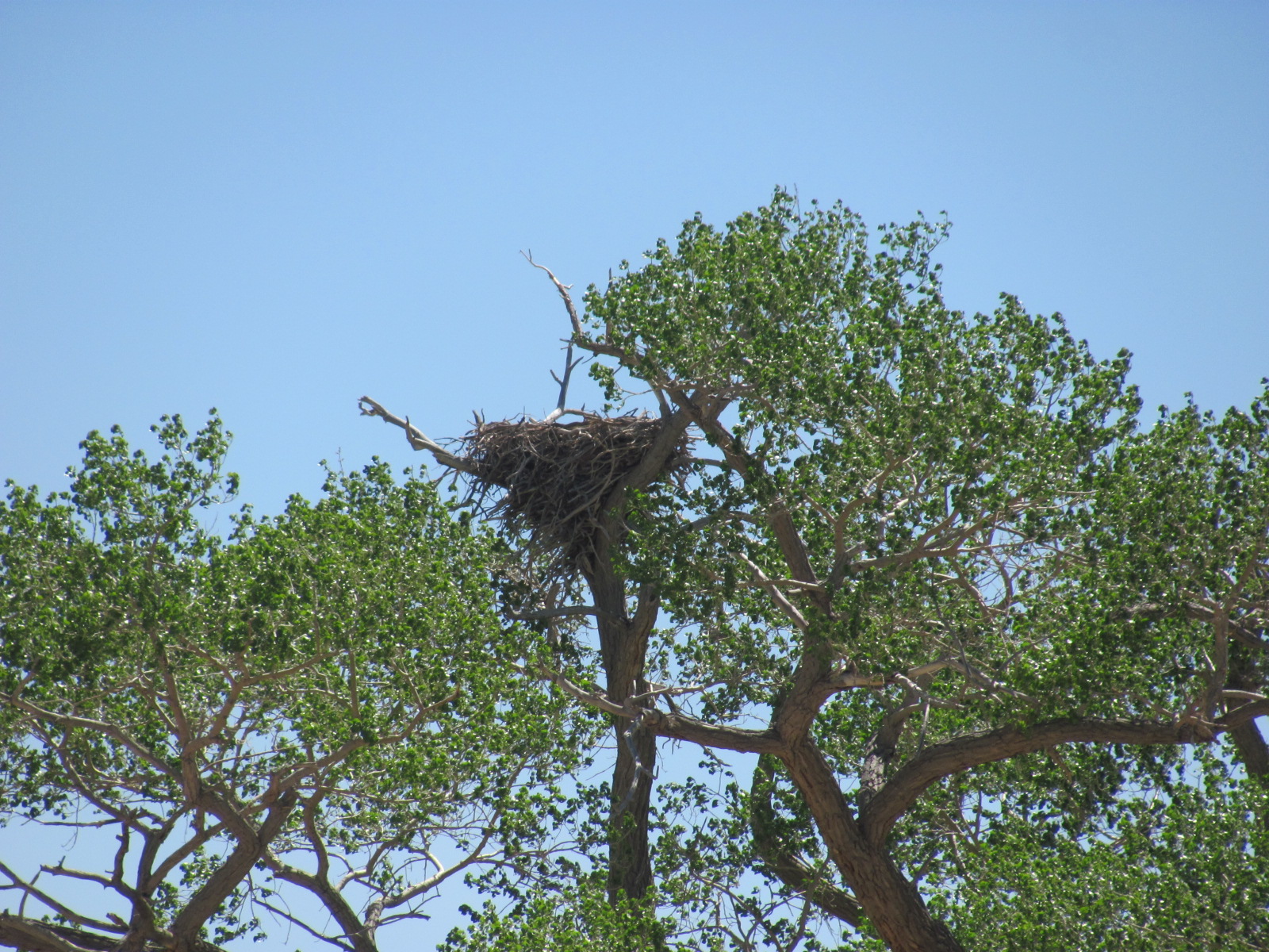
On our way to Loa we also drove through the town of Teasdale where we had heard there was a huge bald eagle’s nest in a tree near the road. Reports are that the nest weighs about 700 lbs., and though we didn’t see any eagles, we did see the nest.
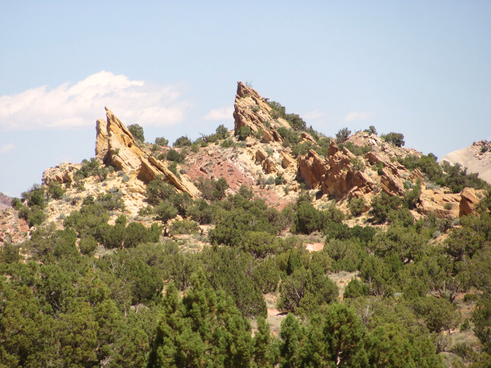
It was finally nice enough on one of our days off to do some sightseeing. We loaded the dogs in the car and took off for the Waterpocket District located at the south end of the park. Capitol Reef NP was created to preserve the Waterpocket Fold, a 100-mile long wrinkle in the earth’s crust that was creat
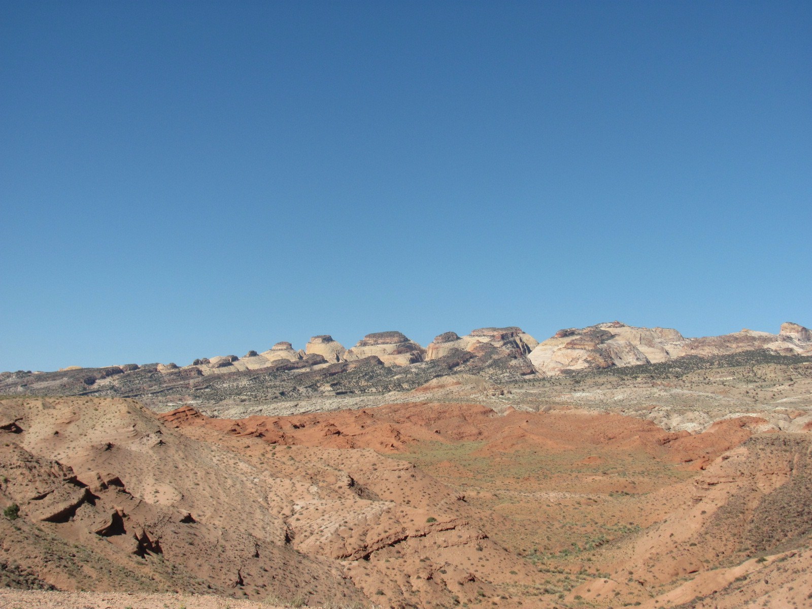 ed 65 million years ago. Rock layers on the west side of the Fold were lifted more than 7,000 feet higher than the layers on the east side though much of that overlying rock has been eroded away. It is considered an exquisite example of the bending and folding of rock layers.
The 125 mile loop starts at the visitor center, travels
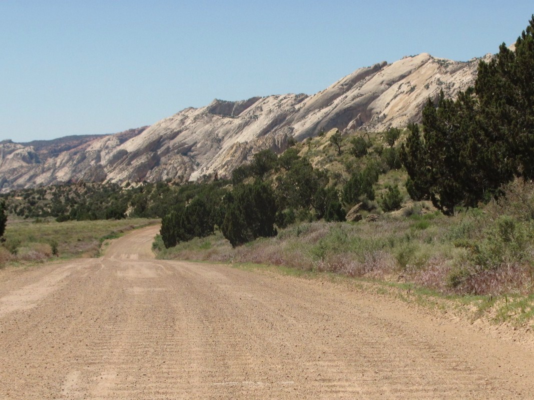
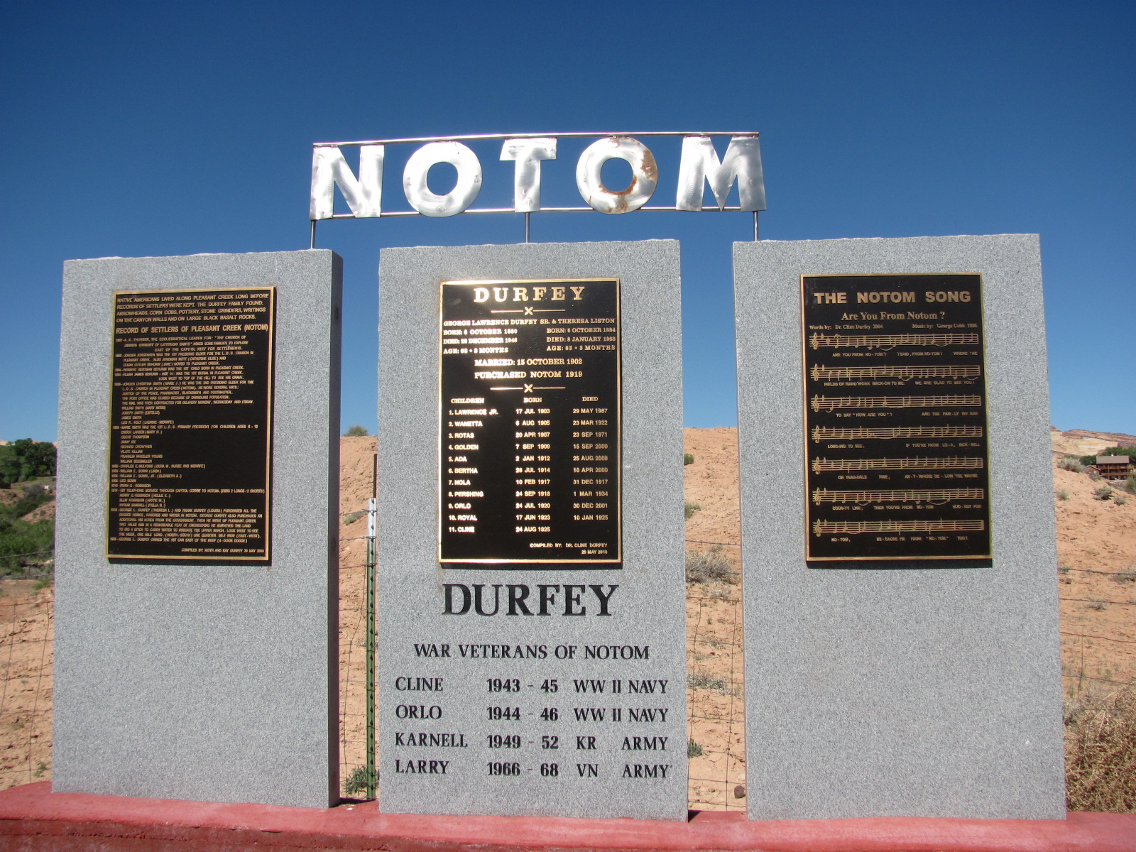 east, and just outside the park you turn south on Notom-Bullfrog Road. The first 8 miles or so are paved but then the next 20 miles are gravel and dirt. The scenery along Notom-Bullfrog looks pretty much like the rest of the area, and the last 10 miles returns you back inside the park’s boundary. We drove past the sign for the town of Notom (nōtəm), and
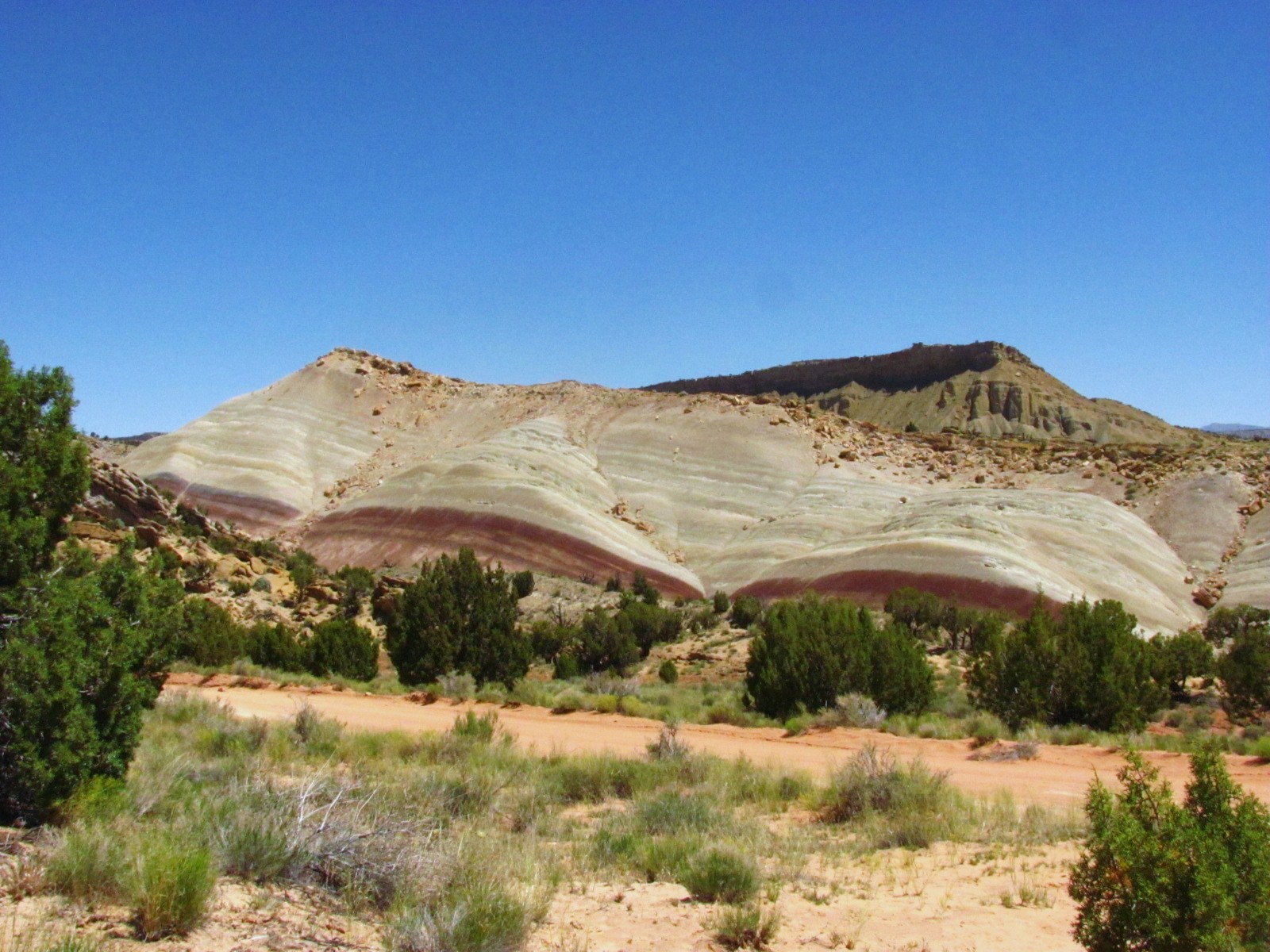
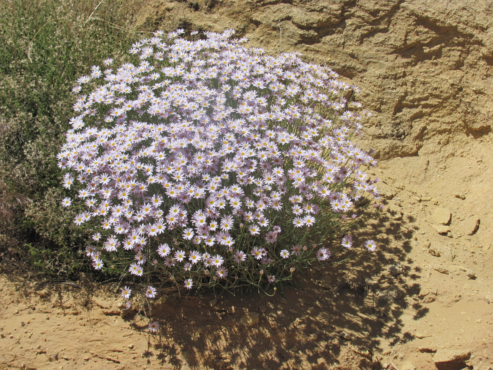 made several stops along the way to check out pullouts and the very primitive Cedar Mesa Campground since we get many questions about camping in these areas. Flowers were in bloom along the way, and at one of the pullouts we did seem to have a spectacular overview of the Fold, but I didn’t take a picture as I thought we’d have more views of it along the way. Unfortunately, we never saw one as good.
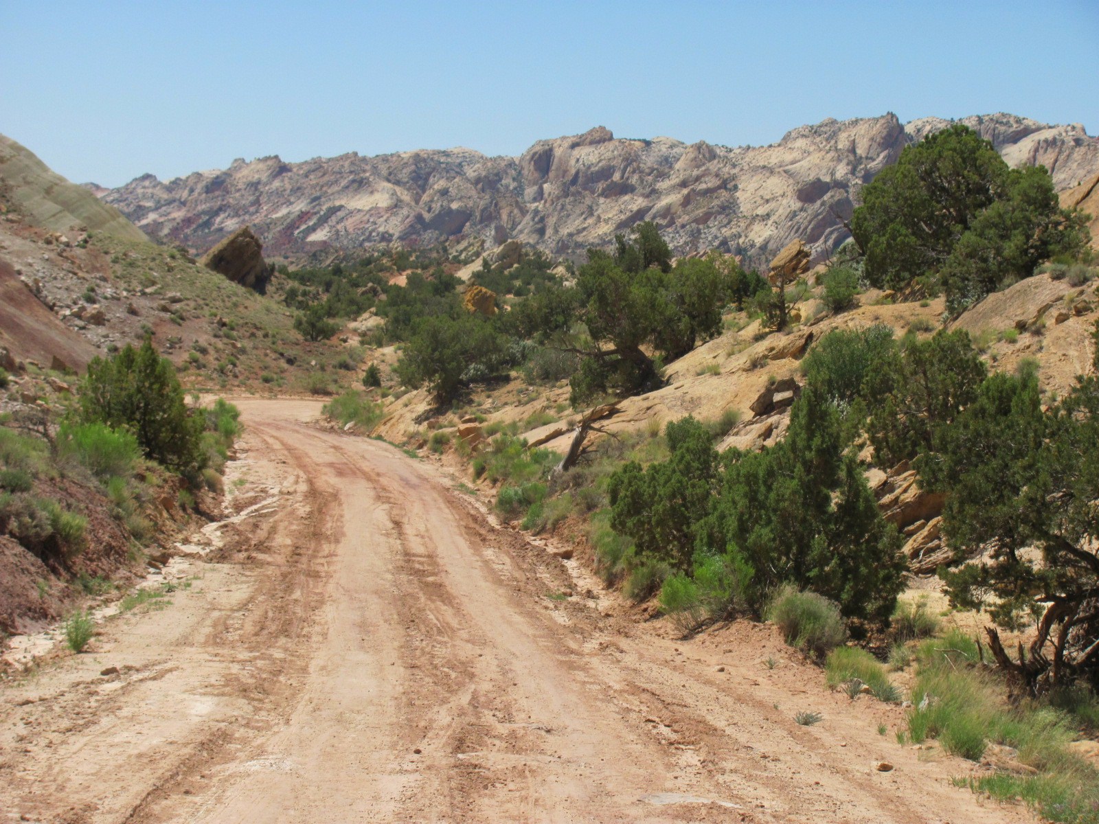

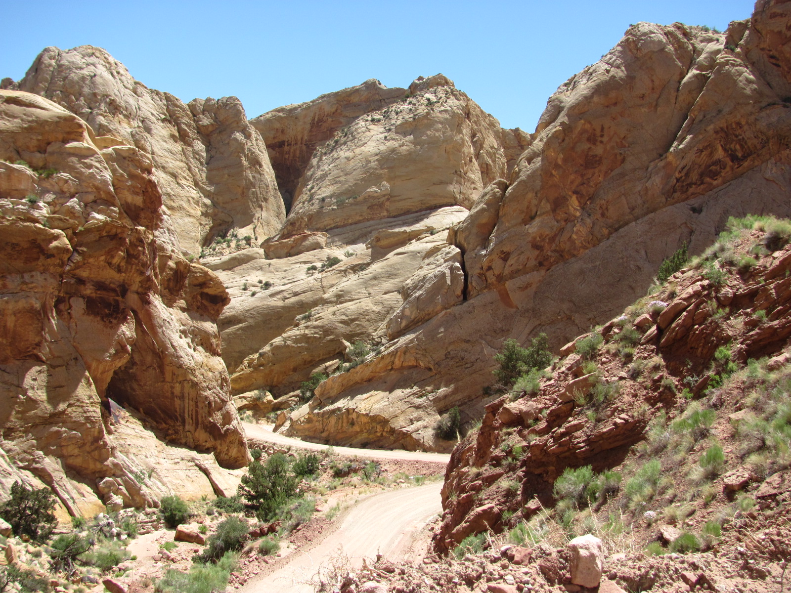
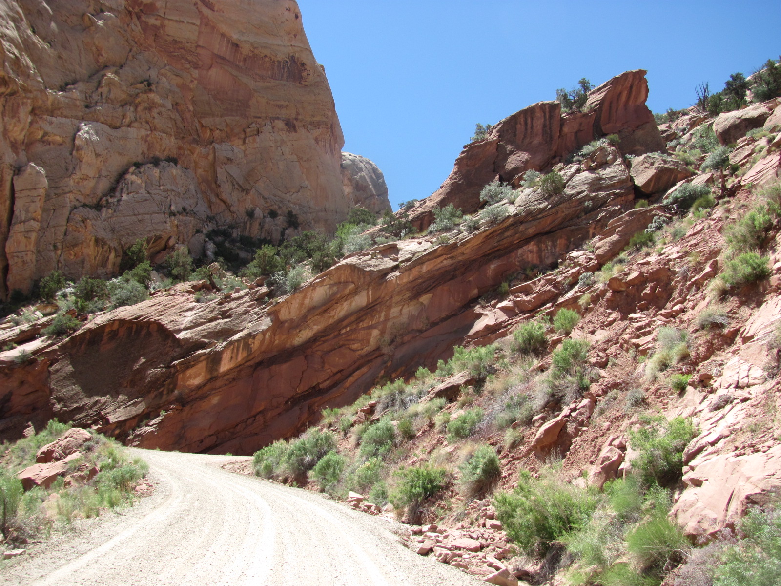
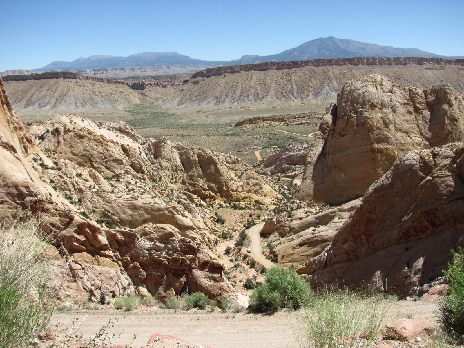
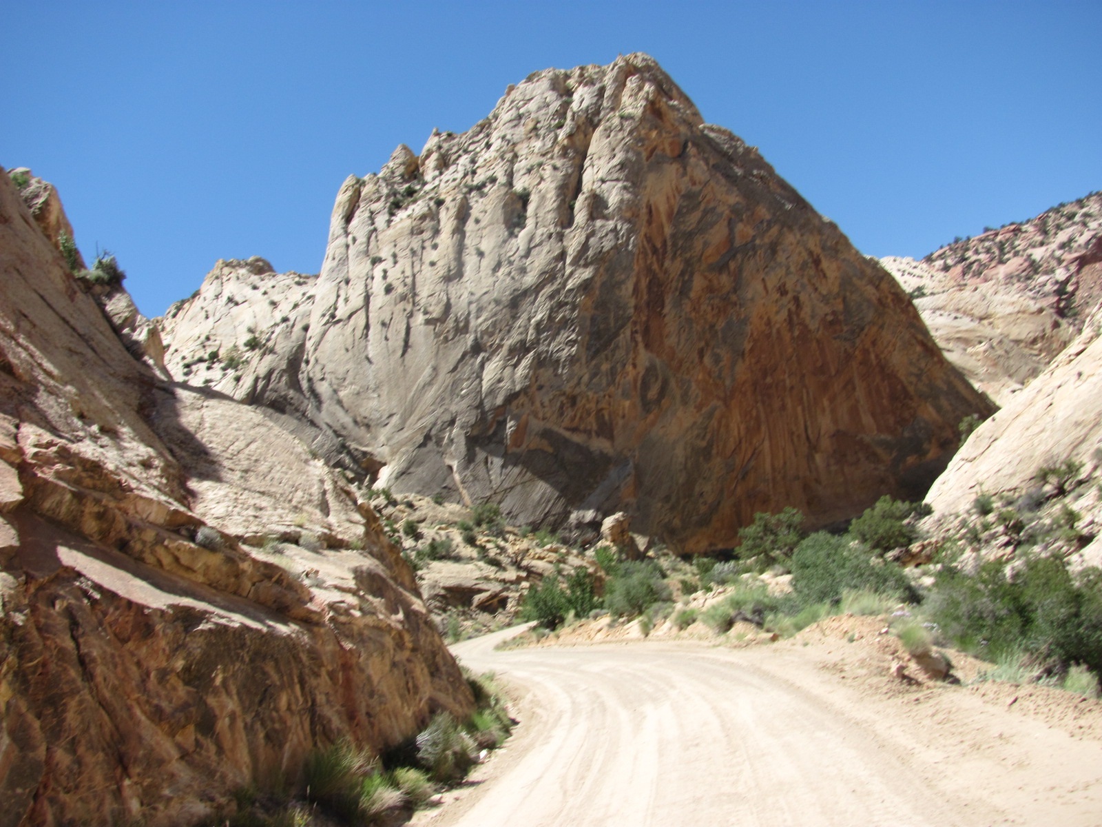 However, once we turned west onto the Burr Trail Road, the views became spectacular. The road cuts across the Waterpocket Fold in a series of steep switchbacks and the view from the top was incredible. (None of the photos in this entry can do justice to the spectacular views we witnessed along the way.)
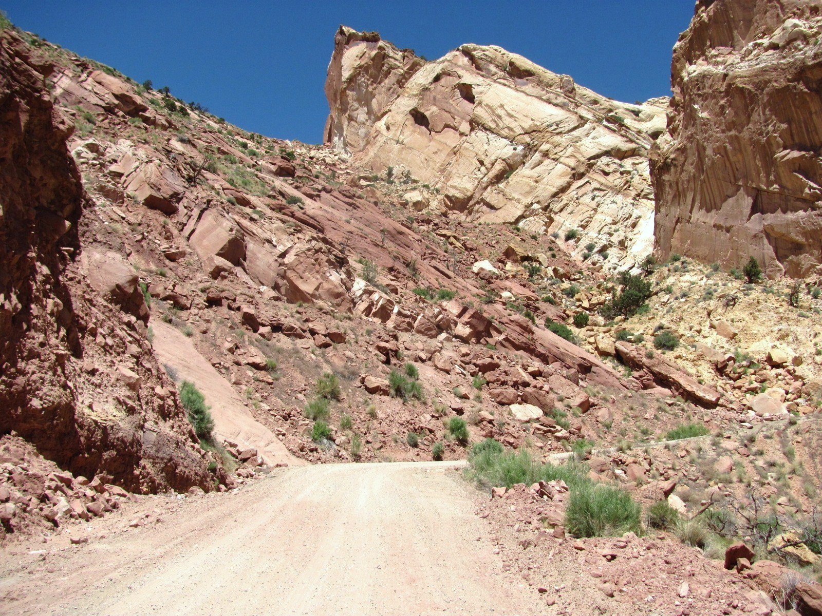
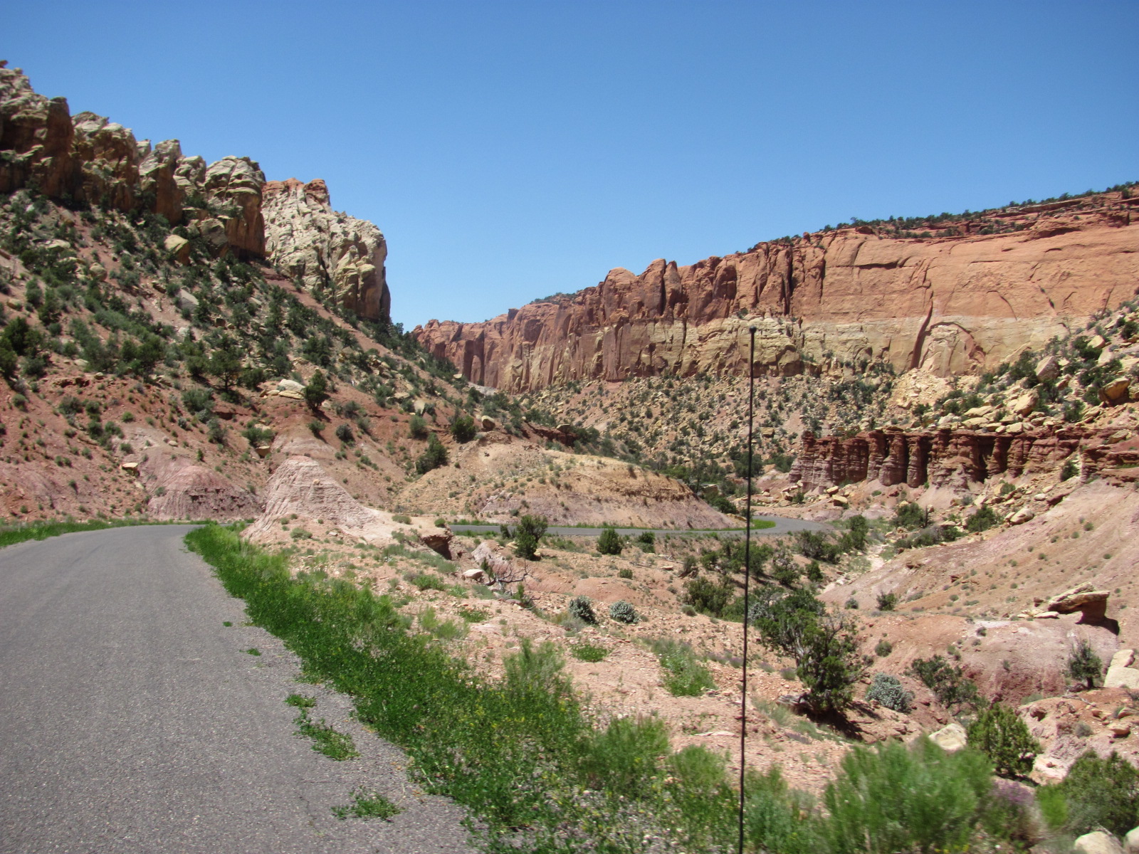 Once at the top, the road leveled out and within a few miles becomes paved again just outside the park. The Burr Trail Road then takes you through Grand Staircase-Escalante National Monument, a stunning drive through a canyon that continues to narrow as it slowly climbs towards the town of Boulder,
 UT. We had traveled through Grand Staircase-Escalante before but never through this 30-mile stretch of road. Surrounded by amazing rock formations, some looking as though they might fall any minute, we passed a huge boulder that had landed near the side of the road at some point in time, splitting almost perfectly in half.
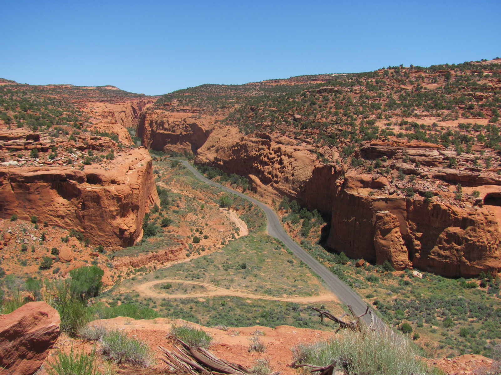

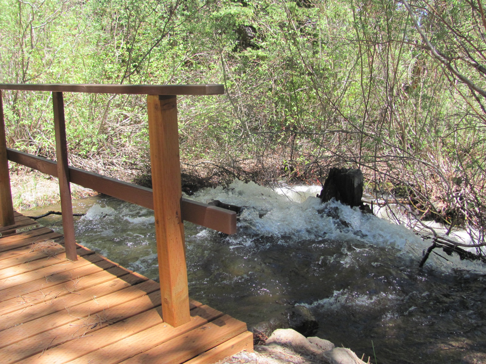 At the town of Boulder, we turned north onto Hwy. 12 taking us through Dixie National Forest, another area we passed through before. In fact, we’ve traveled this 37-mile stretch of road a couple of times in the RV. This time we checked out the three campgrounds along the way and found that Pleasant Creek was running very high from the snow melt through Ple
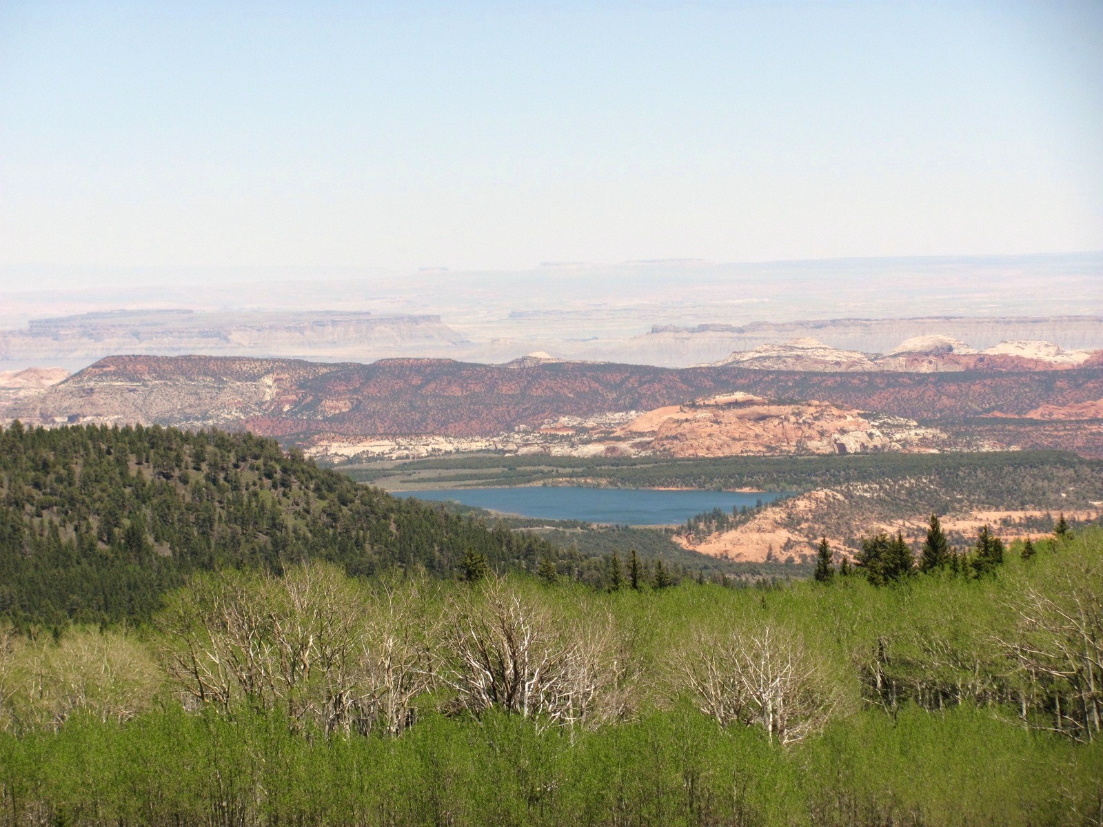 asant Creek Campground lapping against the bottom of the little wooden walkway. This area is a couple thousand feet higher reaching nearly 10,000 feet, and small patches of snow could still be seen not far from the road. From one of the overlooks the brilliant blue of the Lower Bowns Reservoir can be seen nestled in the valley floor, a stunning sight each time we’ve had the chance to see it.
The loop drive took us nearly 6 hours but it was a beautiful day, and once again we marveled at the beauty that continually surrounds us.

No comments:
Post a Comment