Tuesday, June 14, 2011

Campground Fun

Sometimes there’s just fun stuff that happens in the campground, and we thought we’d share some of it with you from the past couple of months.

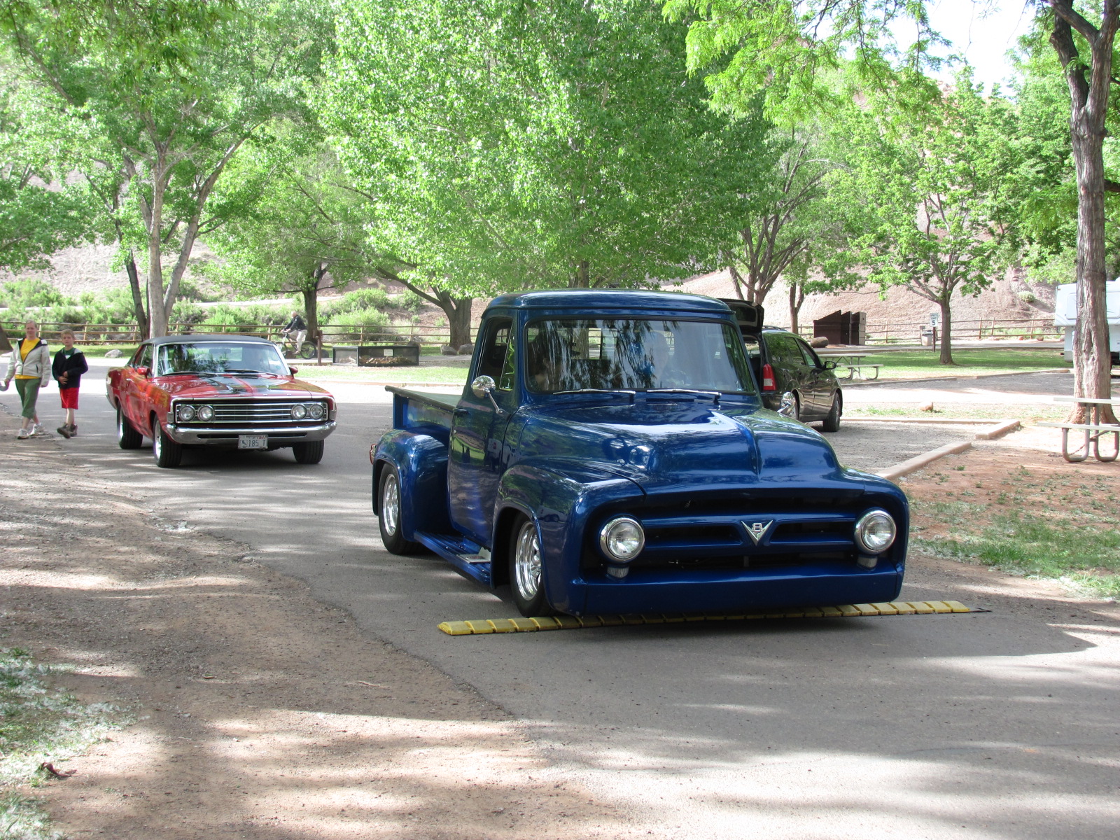
CRUISIN’

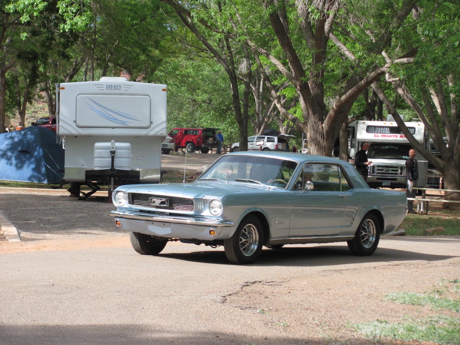
One afternoon about 8 vintage cars turned into the campground, but they evidently weren’t here to camp…just cruisin’ through for a good time.


ON THE SIDE

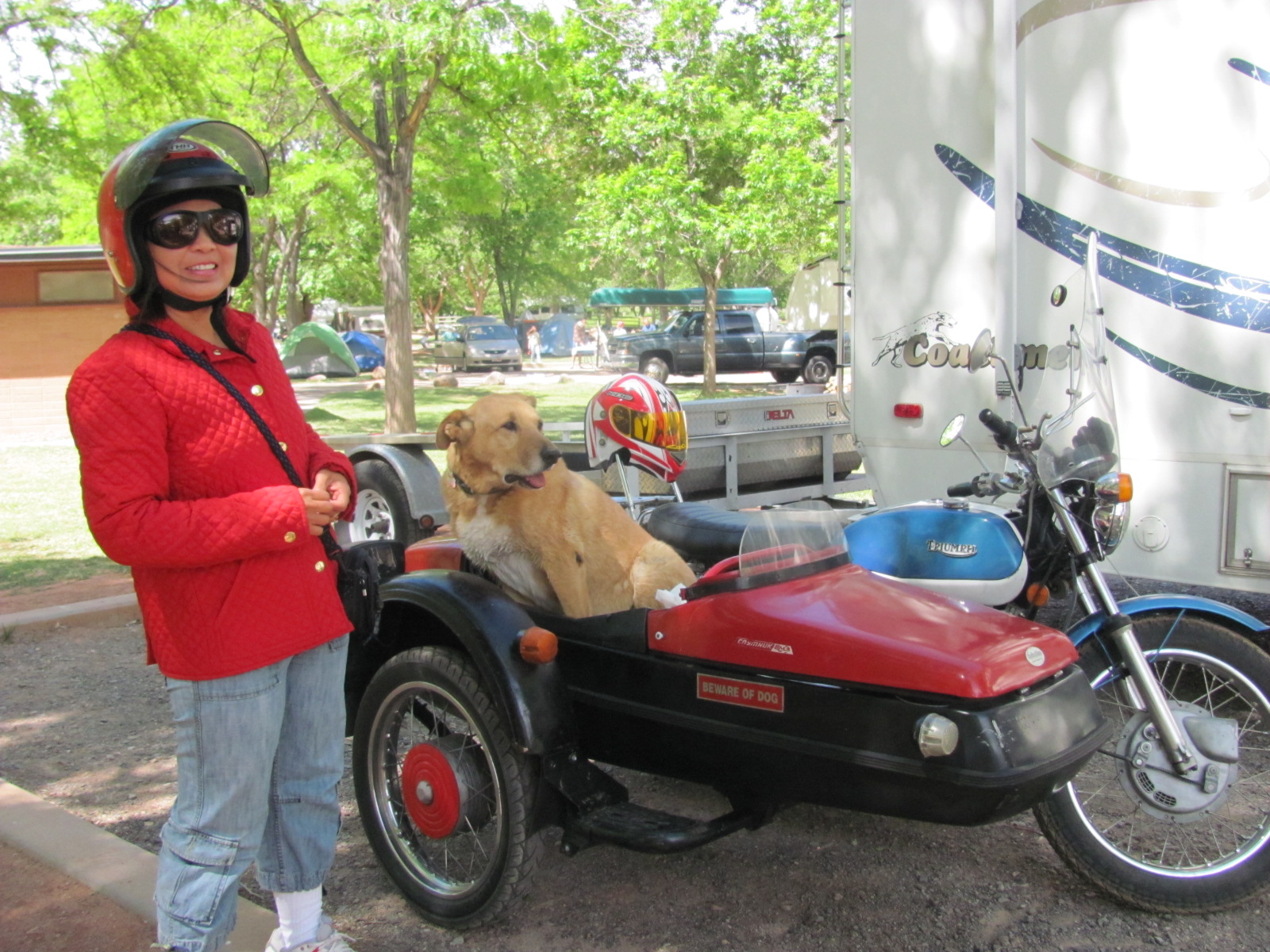
Speaking of vintage, a camper and his wife tooled around the park in this vintage Triumph motorcycle. He said he purchased it new about 40 years ago in the UK and rode it all over Europe. His dog, Charlie, likes to ride in the side car and notice the “Beware of Dog” sticker on the side!

WHATCHA’ DOIN’?
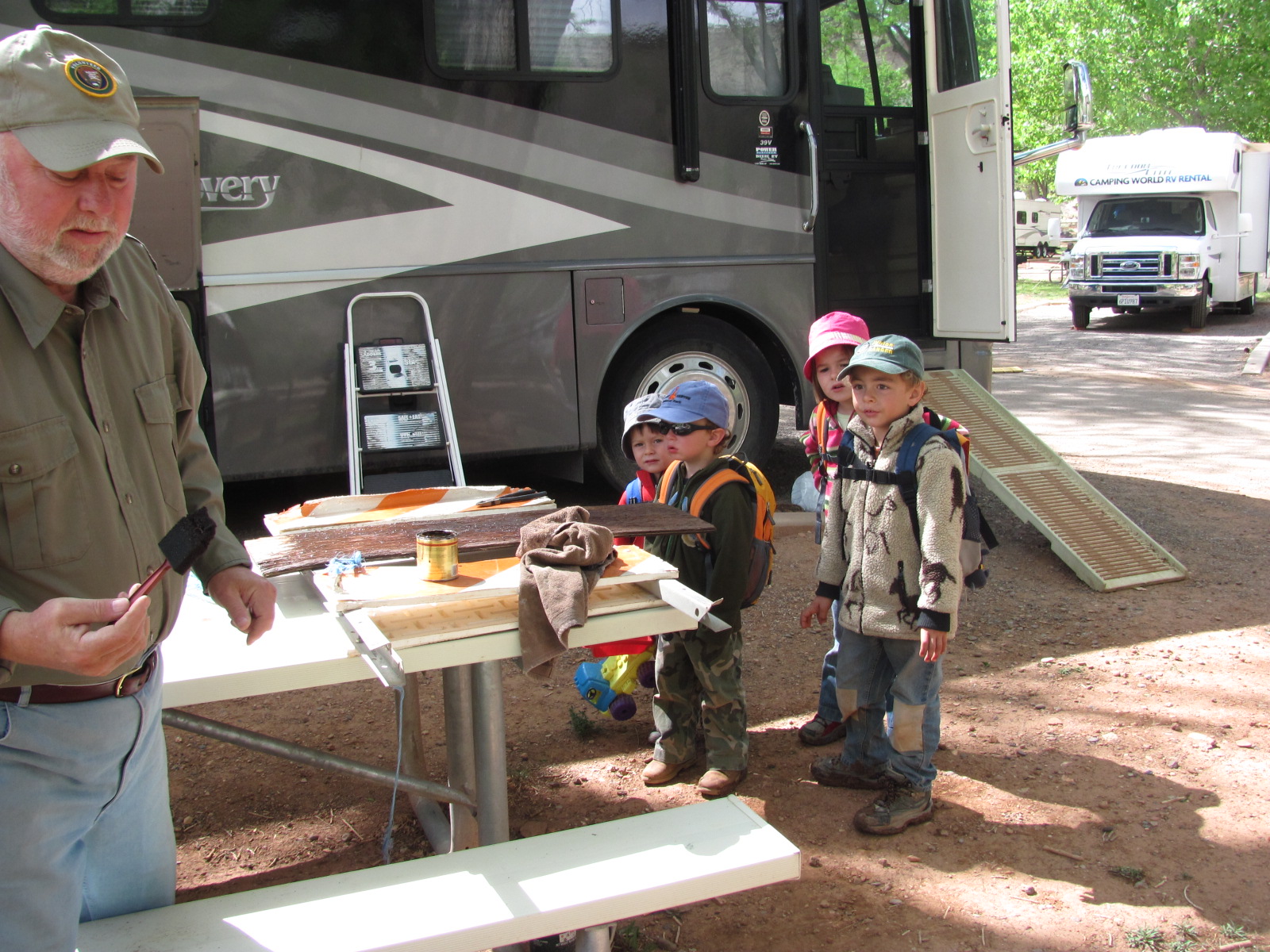
Russ was staining a sign one day, making it a look a little more presentable, when he suddenly had an audience. These four youngsters spoke no English but were enthralled with what Russ was doing.

ALL TIED UP
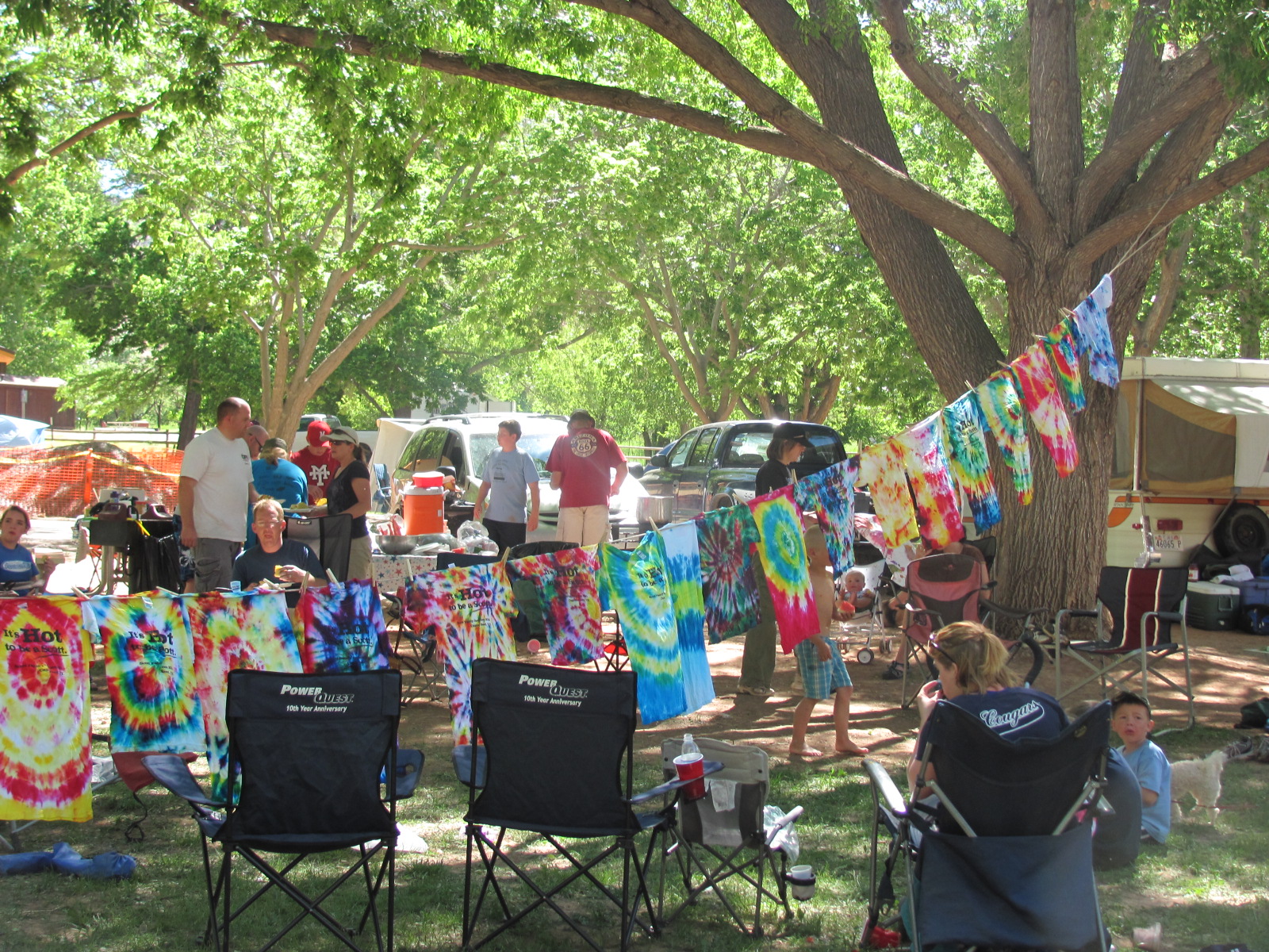
Occasionally family reunions are held here, and this one in particular was very organized and appeared to be lots of fun for all who attended. There were scheduled hikes, picnics, games, showing of the Disney movie Tangled on the side of an RV one night, and the making of tie-dyed t-shirts. One morning several of the older kids had bins lined up with water and bottles of colored paint, showed everyone how to “tie” the white shirts they were given with the name of the reunion, date, and location printed on it, placed the dyed shirts in individual plastic bags, and then let them sit in the sun while everyone took a day trip to Goblin Valley State Park. When they returned, it was time to hang the shirts up to dry, and what a sight it was! The results were quite varied, and there were so many that eventually they had to hang a second line. They had even invited kids from neighboring campsites to join in the fun…a very cool group of people.

CHERRY, CHERRY

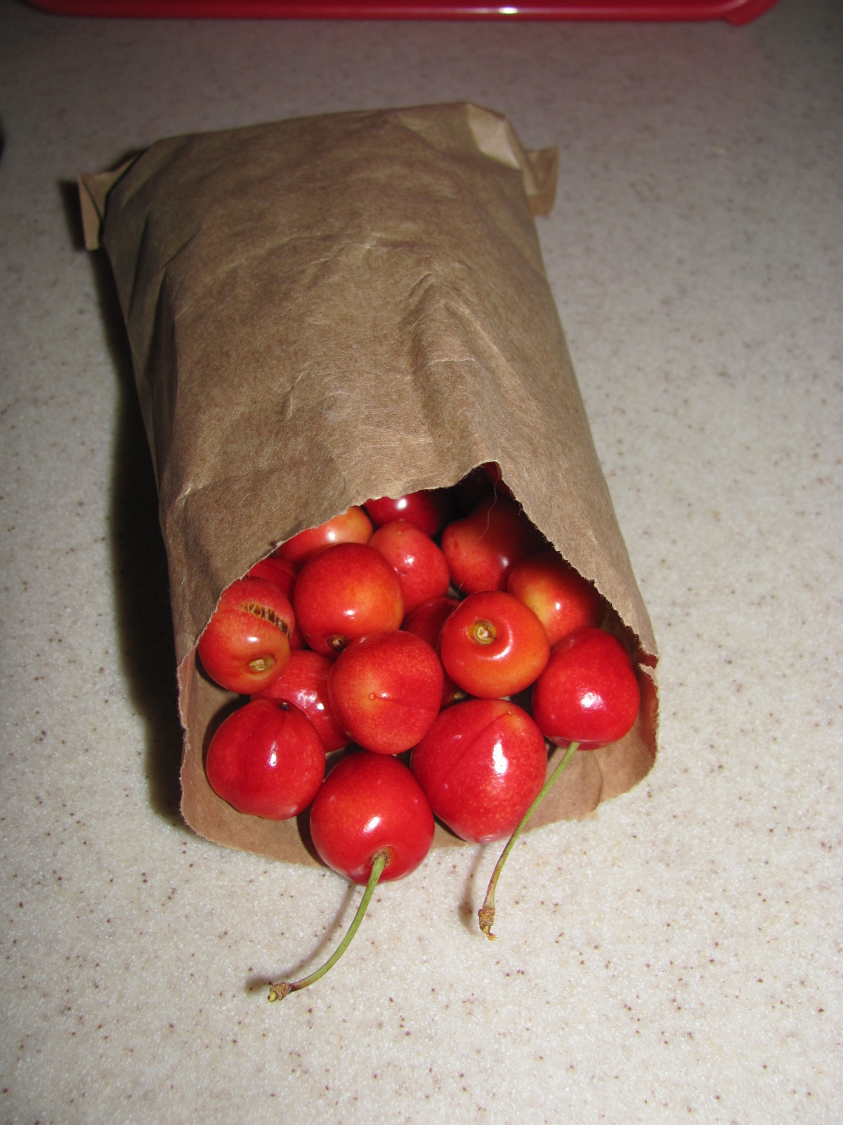
The first fruit of the season was finally ready for picking but the amount this year was very limited. The cherry trees here in the Fruita District are some of the oldest fruit trees in Capitol Reef National Park and don’t produce much fruit. Therefore the park staff picks what they can before the birds get to them and sells sample bags at the Gifford House. They were only able to gather about 8 lbs. total this year, and each bag weighs about half a pound and sells for $1. They were a little on the tart side but we were happy to get some and enjoyed them just the same. Now we’re waiting for the apricots to ripen and hope they do so before we have to leave! Due to the cold, wet spring, everything is behind schedule.

ISS
One last thing I’ll mention (even though we have no photos) is that we’ve watched the International Space Station pass overhead three nights in a row! Each time has been for a duration of approximately 4 – 5 minutes, and it’s so very cool when you realize what you are looking at. If you’d like to try and see it yourself, here’s how you can find out when it will be in a neighborhood near you!

Click on the following link that will take you to the Space Station section on the NASA website (http://www.nasa.gov/topics/shuttle_station/index.html) and then on the righthand side near the top under “See the Station in the Sky”, click on Sightings Page. This will bring up another page where you can click on your country, your state, and the city (or even national park) where you will be, and up pops a listing of the days/times/elevation and duration of sightings that will occur in your area. Of course clear skies are best for optimal viewing, and if you’re in an area with a lot of light pollution, it may be nearly impossible to see. Otherwise look for the brightest “star” in the sky with no blinking lights that is moving rather quickly across the night sky. Hope you’re as lucky as we’ve been!

Sunday, June 12, 2011

Crossing the Waterpocket Fold

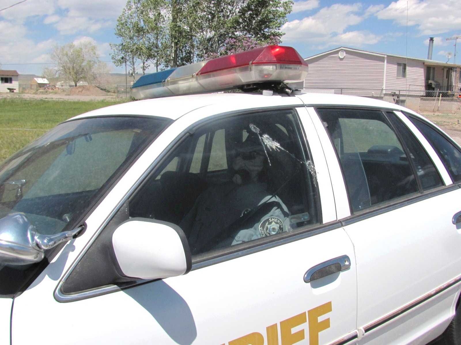
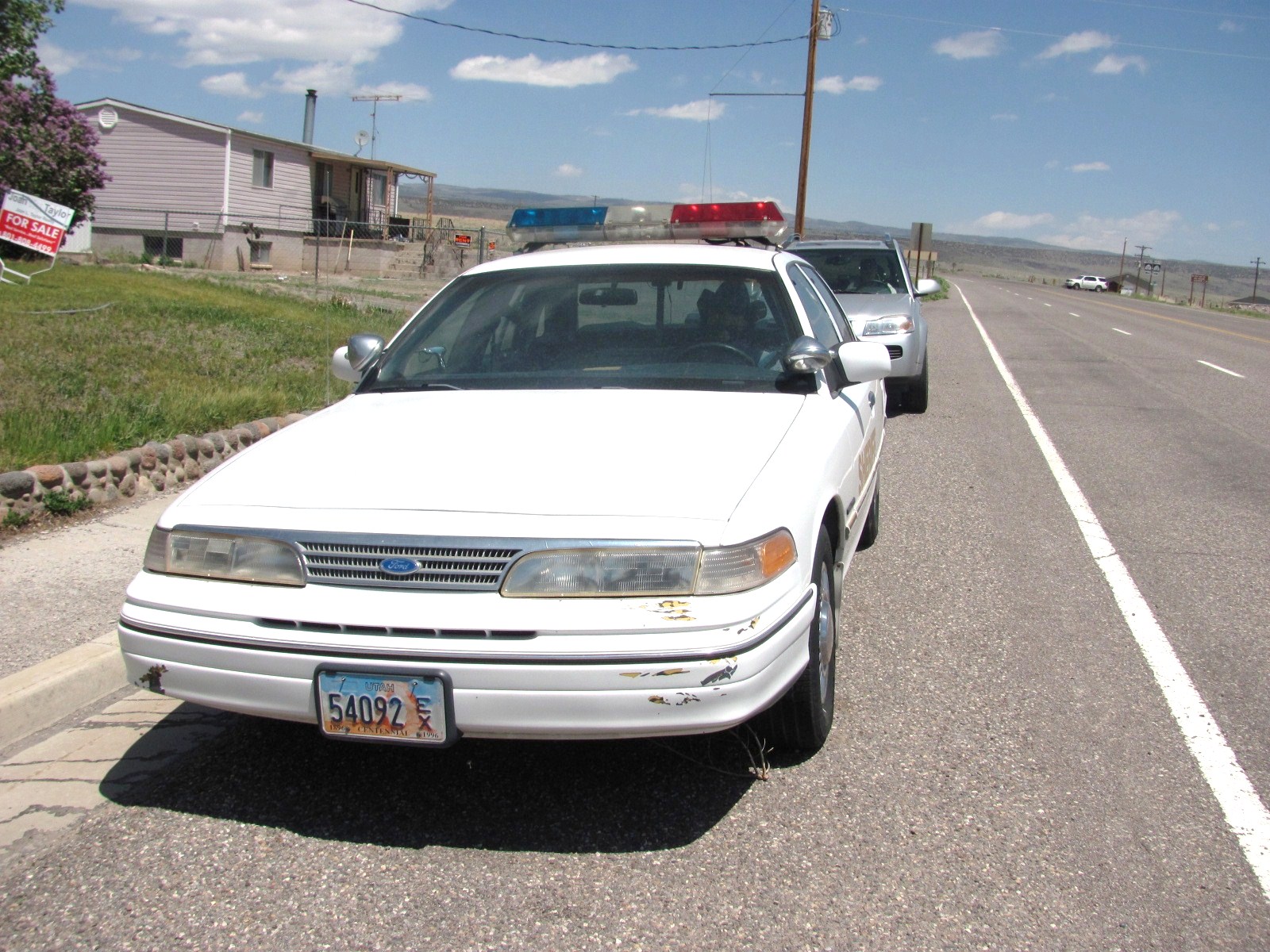
Thought we’d start this post with a bit of whimsy. Every couple of weeks we drive into the town of Loa (about 30 miles away) to shop at a real grocery store. The Chuckwagon in Torrey is good for the basics…milk, eggs, bread...but very pricey for everything else. Before we left this week someone told us about a funny sight at the far end of town. Seems there is a sheriff’s car parked on the street (exact location changes from time to time) in which there sits a dummy sheriff! What a hoot!

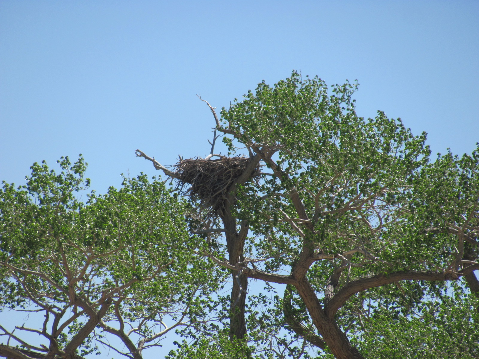
On our way to Loa we also drove through the town of Teasdale where we had heard there was a huge bald eagle’s nest in a tree near the road. Reports are that the nest weighs about 700 lbs., and though we didn’t see any eagles, we did see the nest.

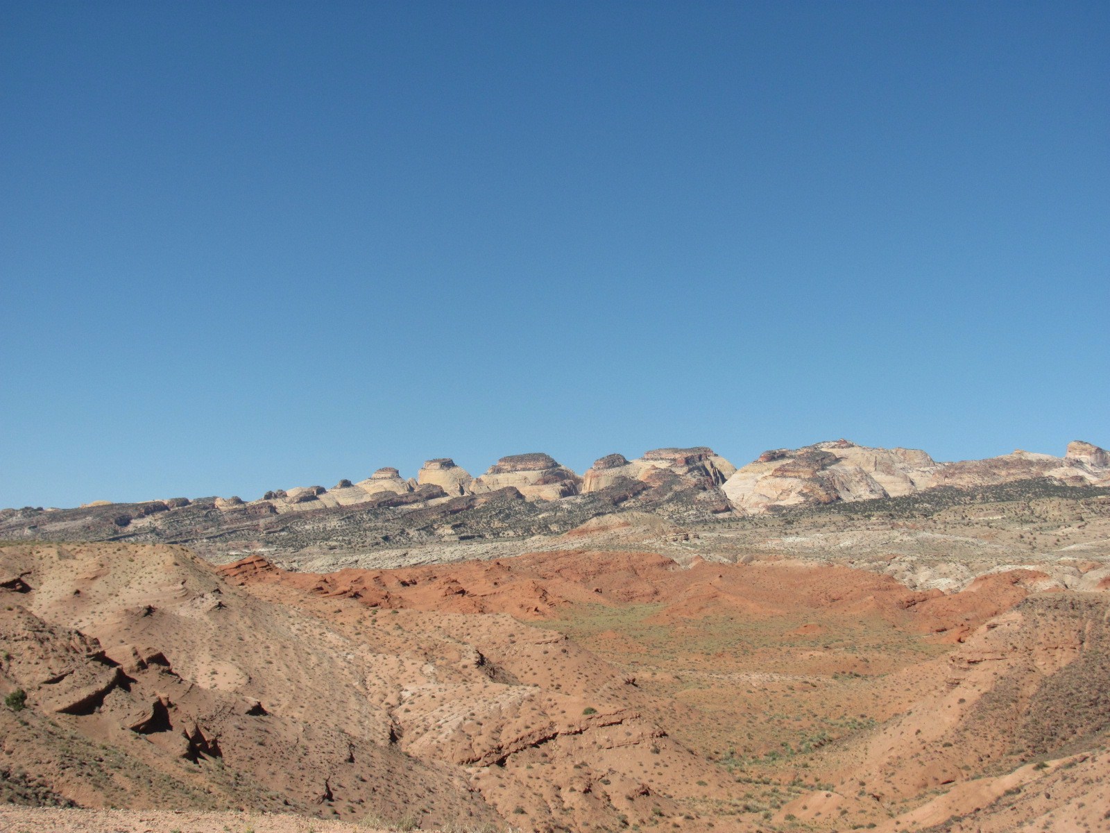
It was finally nice enough on one of our days off to do some sightseeing. We loaded the dogs in the car and took off for the Waterpocket District located at the south end of the park. Capitol Reef NP was created to preserve the Waterpocket Fold, a 100-mile long wrinkle in the earth’s crust that was created 65 million years ago. Rock layers on the west side of the Fold were lifted more than 7,000 feet higher than the layers on the east side though much of that overlying rock has been eroded away. It is considered an exquisite example of the bending and folding of rock layers.

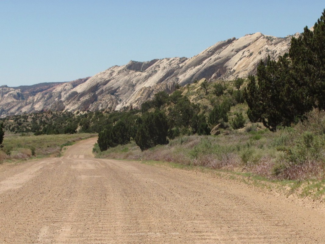
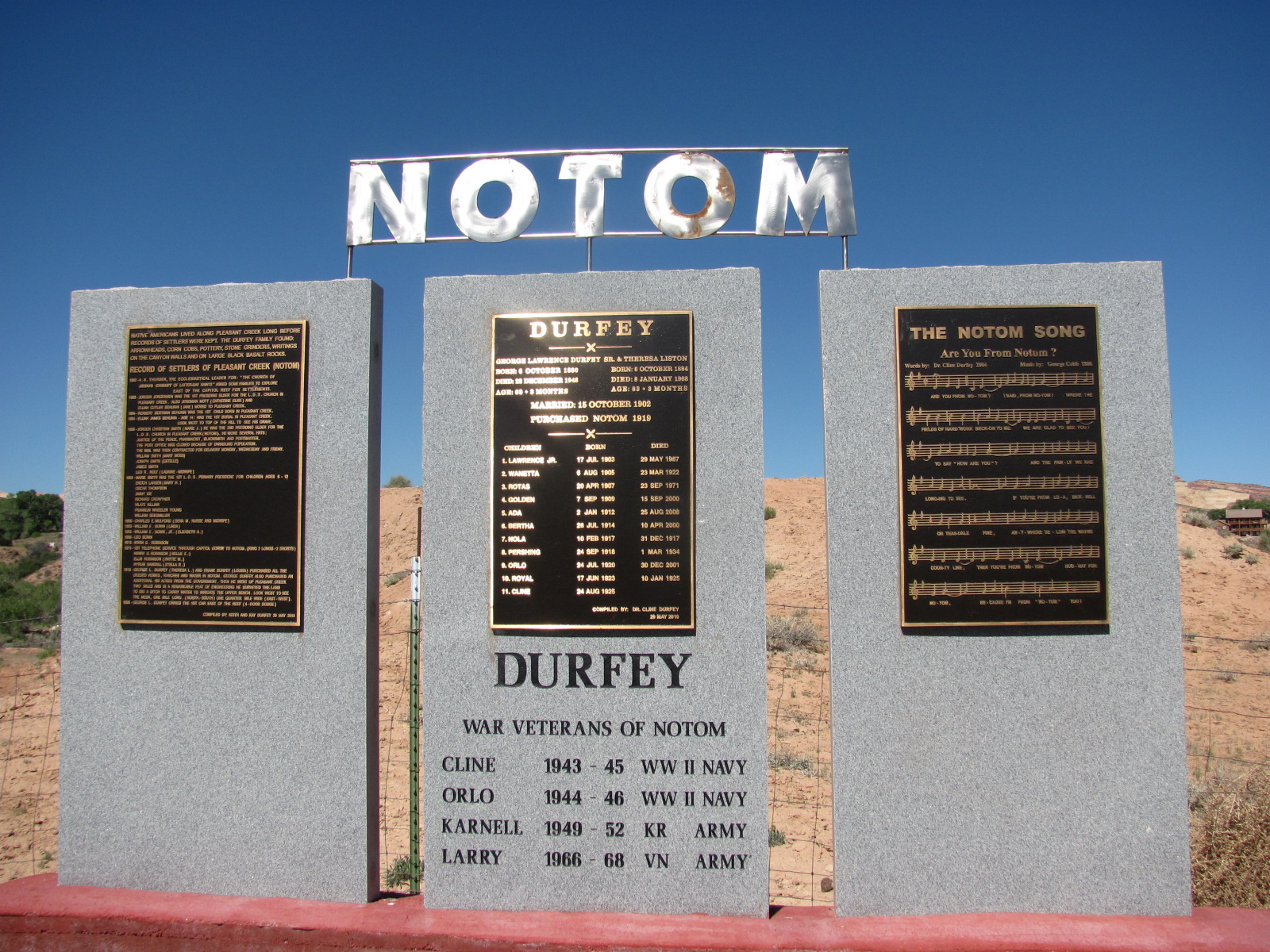
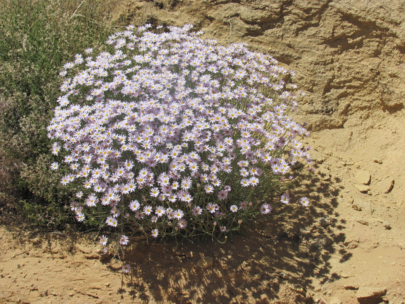
The 125 mile loop starts at the visitor center, travels east, and just outside the park you turn south on Notom-Bullfrog Road. The first 8 miles or so are paved but then the next 20 miles are gravel and dirt. The scenery along Notom-Bullfrog looks pretty much like the rest of the area, and the last 10 miles returns you back inside the park’s boundary. We drove past the sign for the town of Notom (nōtəm), and made several stops along the way to check out pullouts and the very primitive Cedar Mesa Campground since we get many questions about camping in these areas. Flowers were in bloom along the way, and at one of the pullouts we did seem to have a spectacular overview of the Fold, but I didn’t take a picture as I thought we’d have more views of it along the way. Unfortunately, we never saw one as good.


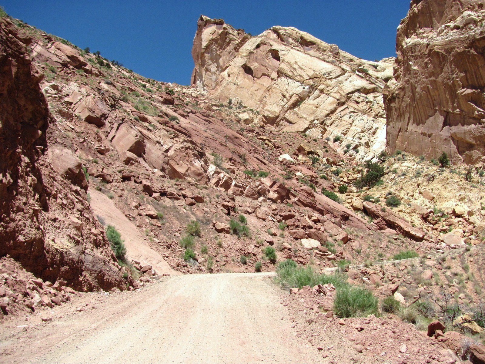
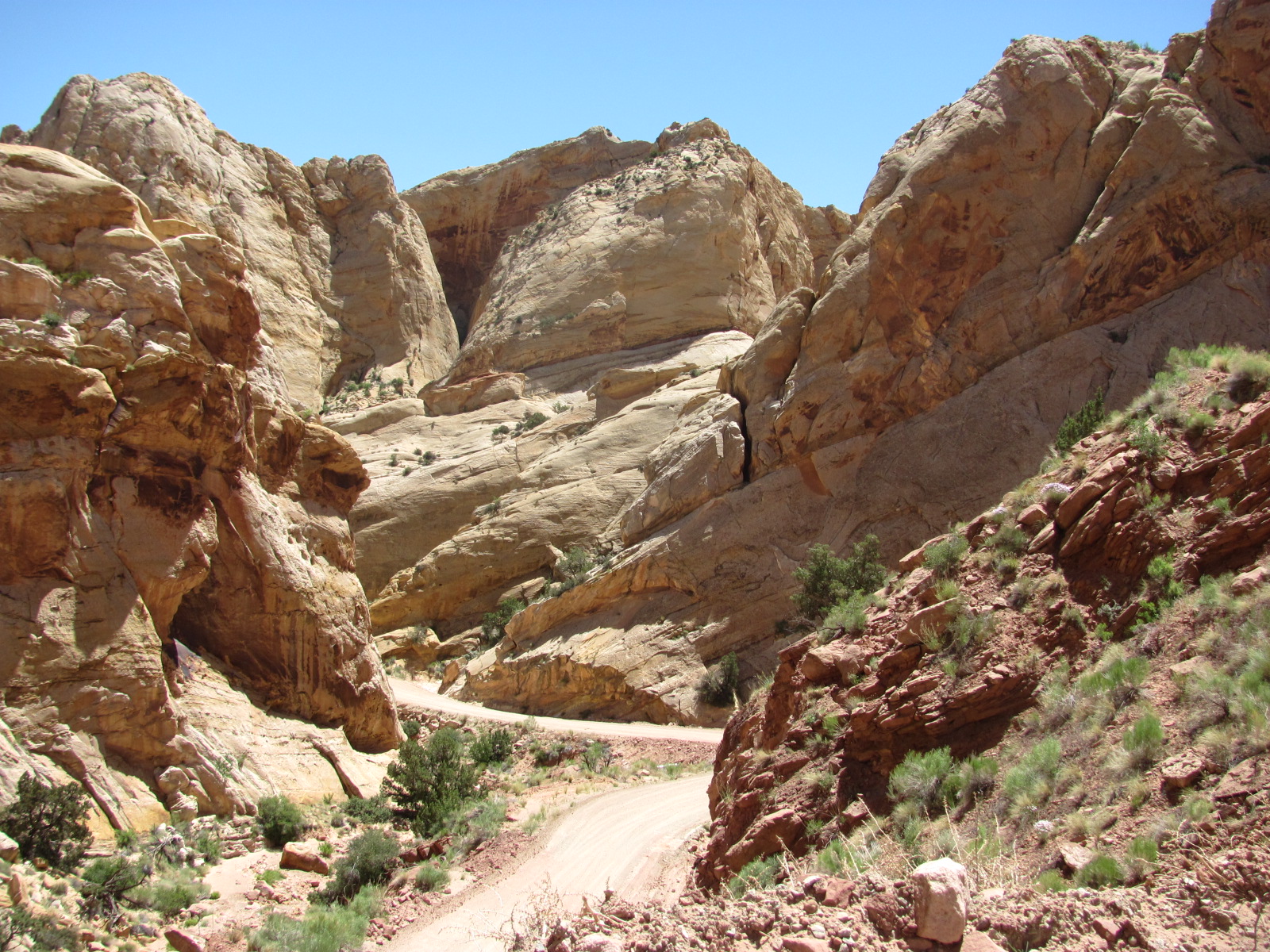
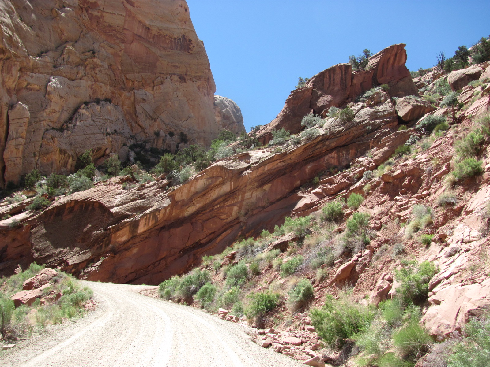
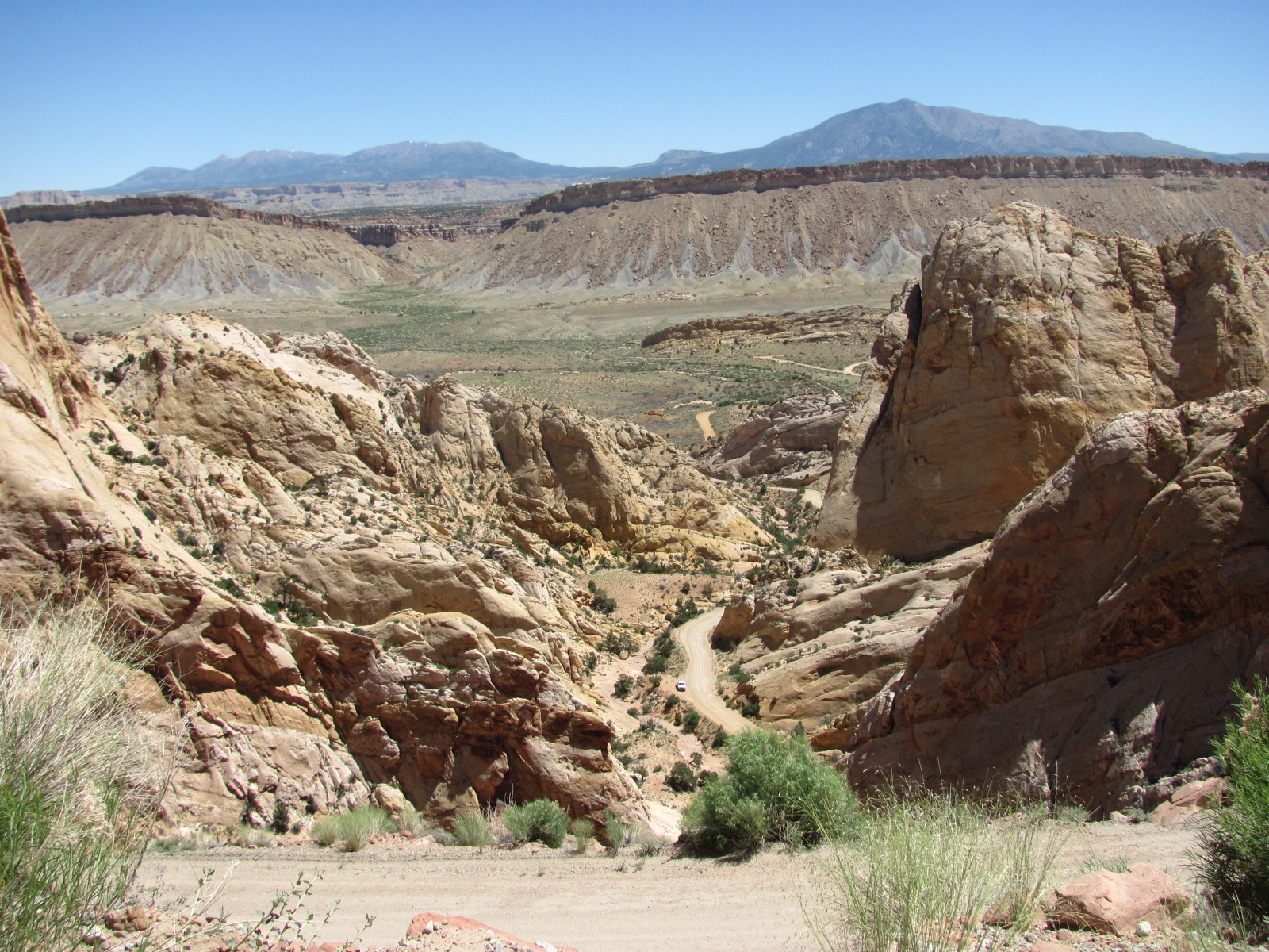
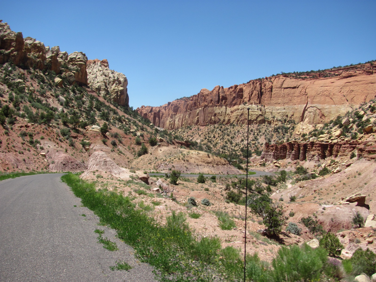
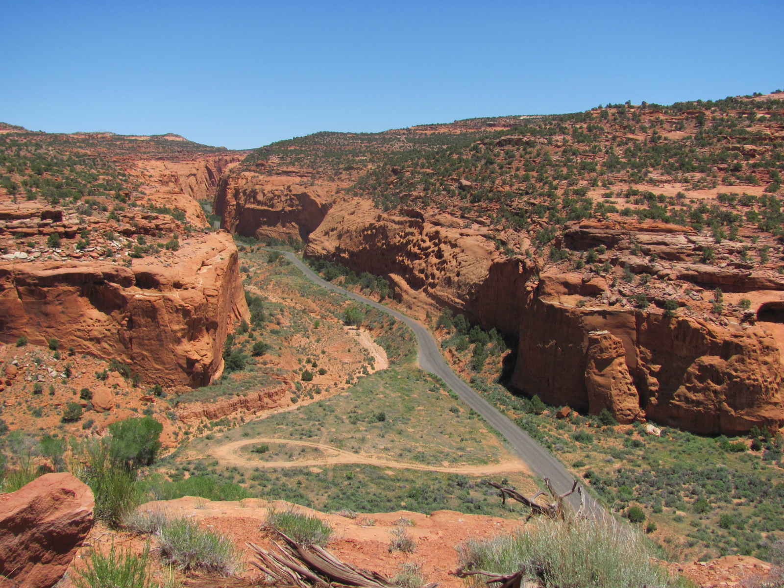
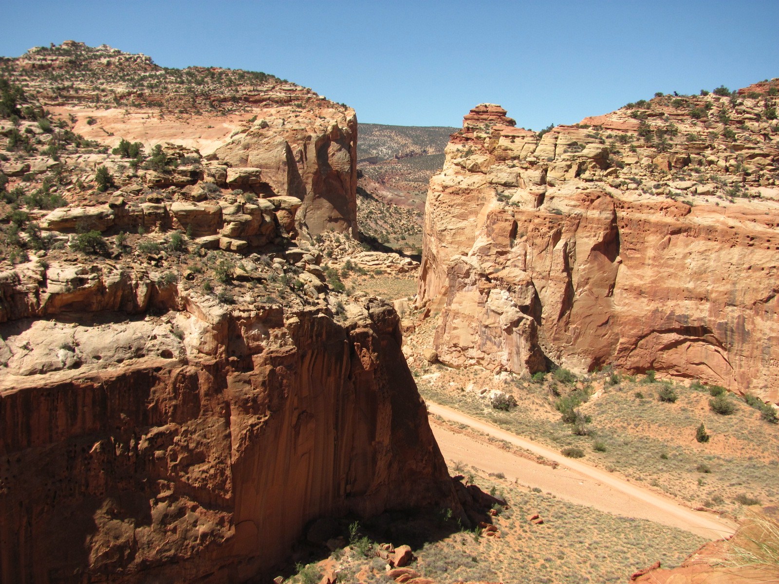
However, once we turned west onto the Burr Trail Road, the views became spectacular. The road cuts across the Waterpocket Fold in a series of steep switchbacks and the view from the top was incredible. (None of the photos in this entry can do justice to the spectacular views we witnessed along the way.)


Once at the top, the road leveled out and within a few miles becomes paved again just outside the park. The Burr Trail Road then takes you through Grand Staircase-Escalante National Monument, a stunning drive through a canyon that continues to narrow as it slowly climbs towards the town of Boulder, UT. We had traveled through Grand Staircase-Escalante before but never through this 30-mile stretch of road. Surrounded by amazing rock formations, some looking as though they might fall any minute, we passed a huge boulder that had landed near the side of the road at some point in time, splitting almost perfectly in half.


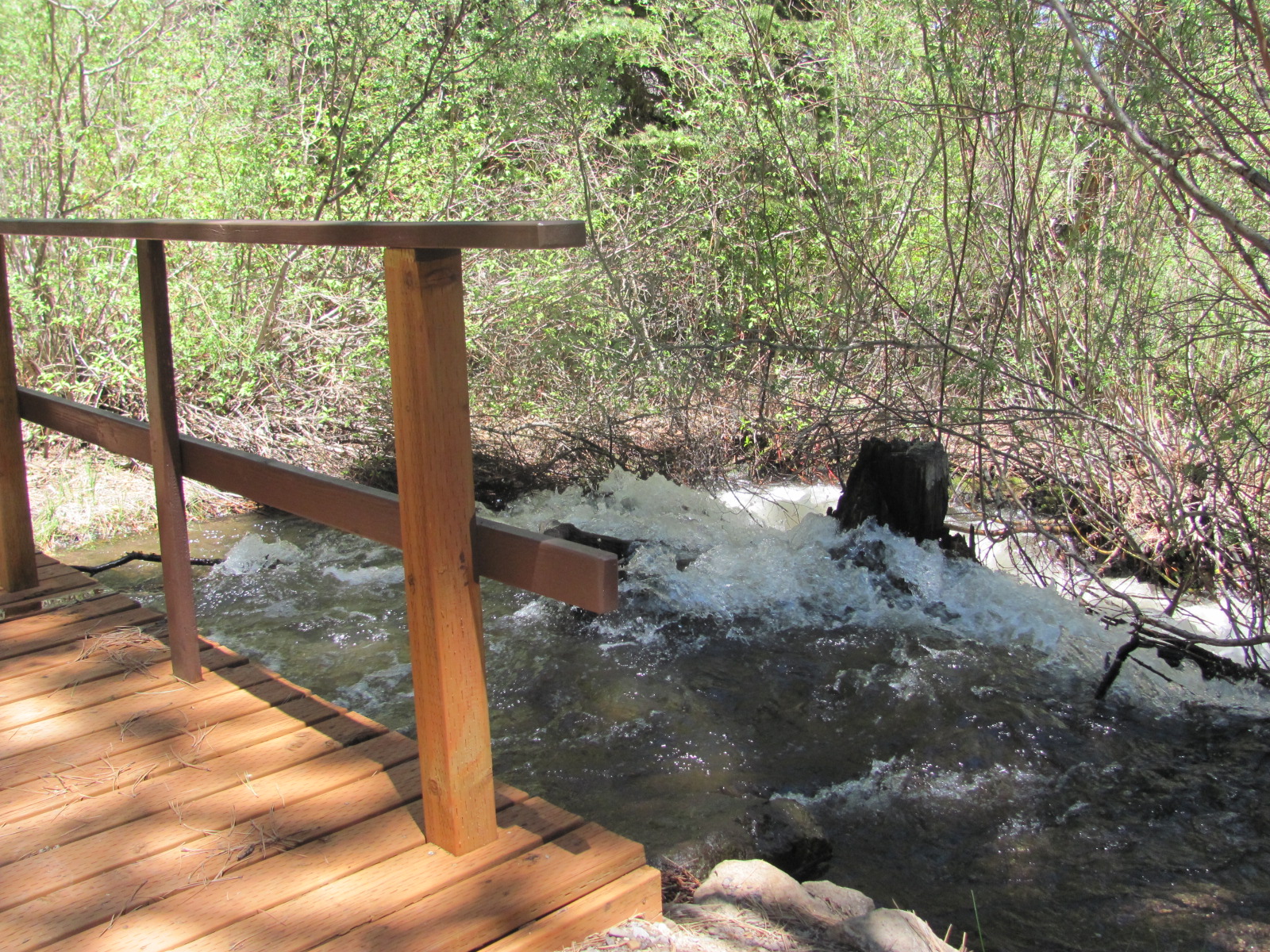
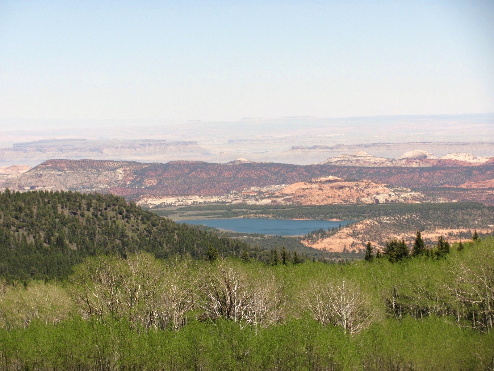
At the town of Boulder, we turned north onto Hwy. 12 taking us through Dixie National Forest, another area we passed through before. In fact, we’ve traveled this 37-mile stretch of road a couple of times in the RV. This time we checked out the three campgrounds along the way and found that Pleasant Creek was running very high from the snow melt through Pleasant Creek Campground lapping against the bottom of the little wooden walkway. This area is a couple thousand feet higher reaching nearly 10,000 feet, and small patches of snow could still be seen not far from the road. From one of the overlooks the brilliant blue of the Lower Bowns Reservoir can be seen nestled in the valley floor, a stunning sight each time we’ve had the chance to see it.

The loop drive took us nearly 6 hours but it was a beautiful day, and once again we marveled at the beauty that continually surrounds us.

Sunday, June 5, 2011

Making Friends

As we’ve mentioned before, one of the nice things about this job is the great people we get to meet, and two such couples arrived one day, initially camping directly across from us. Pete, Donna, Rich, and Annette have been friends for years and were planning to stay about 10 days. As we talked with them, we learned that Pete is on the Board of Directors of a company called Ironclad (http://www.ironclad.com/) that sells high quality work gloves. These gloves are not only for job sites but are also great for gardening and home maintenance. He presented each of us with a pair, and the versatility is amazing. Not only are they sized to fit like a golf glove and machine washable, but you can pick up a pencil and write without removing the gloves! Both couples moved to bigger sites the next day, and we were off duty so didn’t see much of them for a couple of days. Pete and Donna had to leave early, but we did get to visit with Rich and Annette a couple of nights and had a great time getting better acquainted. In fact Annette made us a Bloody Mary with her homemade tomato juice…yummy!! Turns out they may be in Yellowstone part of the time while we are so we’re hoping to get together again. Unfortunately I didn’t get a picture of these 4 fun people…maybe next time.

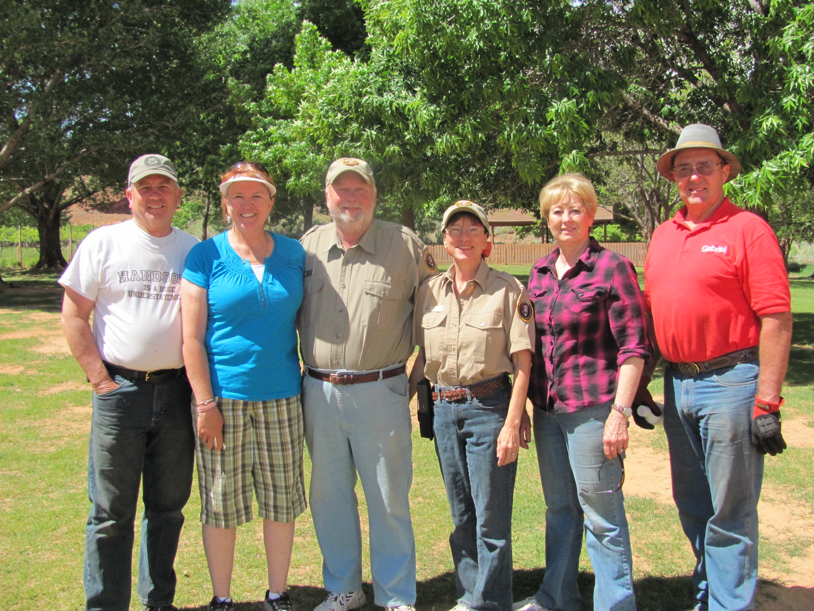
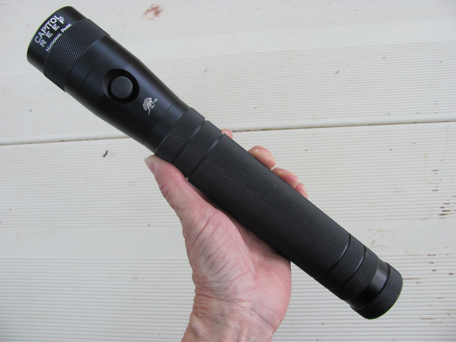
Another foursome we got to know was Brent, Kayleen, Nancy, and Sid (l to r with us in the middle). They had reserved the group site for their church’s youth group and had arrived a couple nights early so we got to chat with them while we were working. Brent has a company called Outback Flashlights (http://www.outbackflashlights.com/) that sells high powered LED flashlights and headlamps, and one night before leaving, he presented us with one of the flashlights. It has a 3 watt, 120 lumens CREE LED bulb with a 360° refraction focused beam with a distance of 350+ yards! This is quite a powerful flashlight! He has an extensive variety available on the website should you have a need. Sid is co-owner of Sid’s Alignment Service (www.sidsalignment.com/) in Springville, UT, and we just may be using his services when we leave here. Such a nice group of people who always welcomed us to join them for meals when we drove by (which we declined), but how could we resist their offer to try the homemade root beer! If you've ever had A&W Root Beer, this was equally as good and so simple to make with only 3 ingredients....very yummy!!

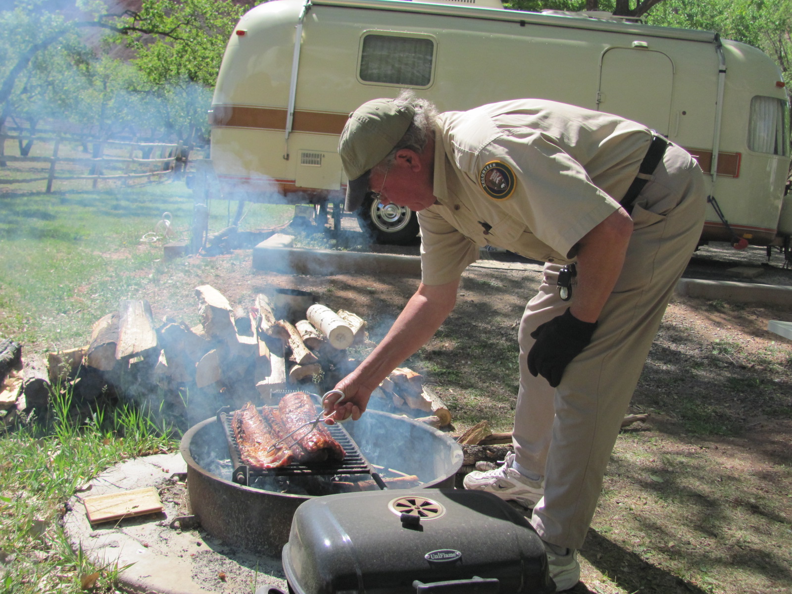
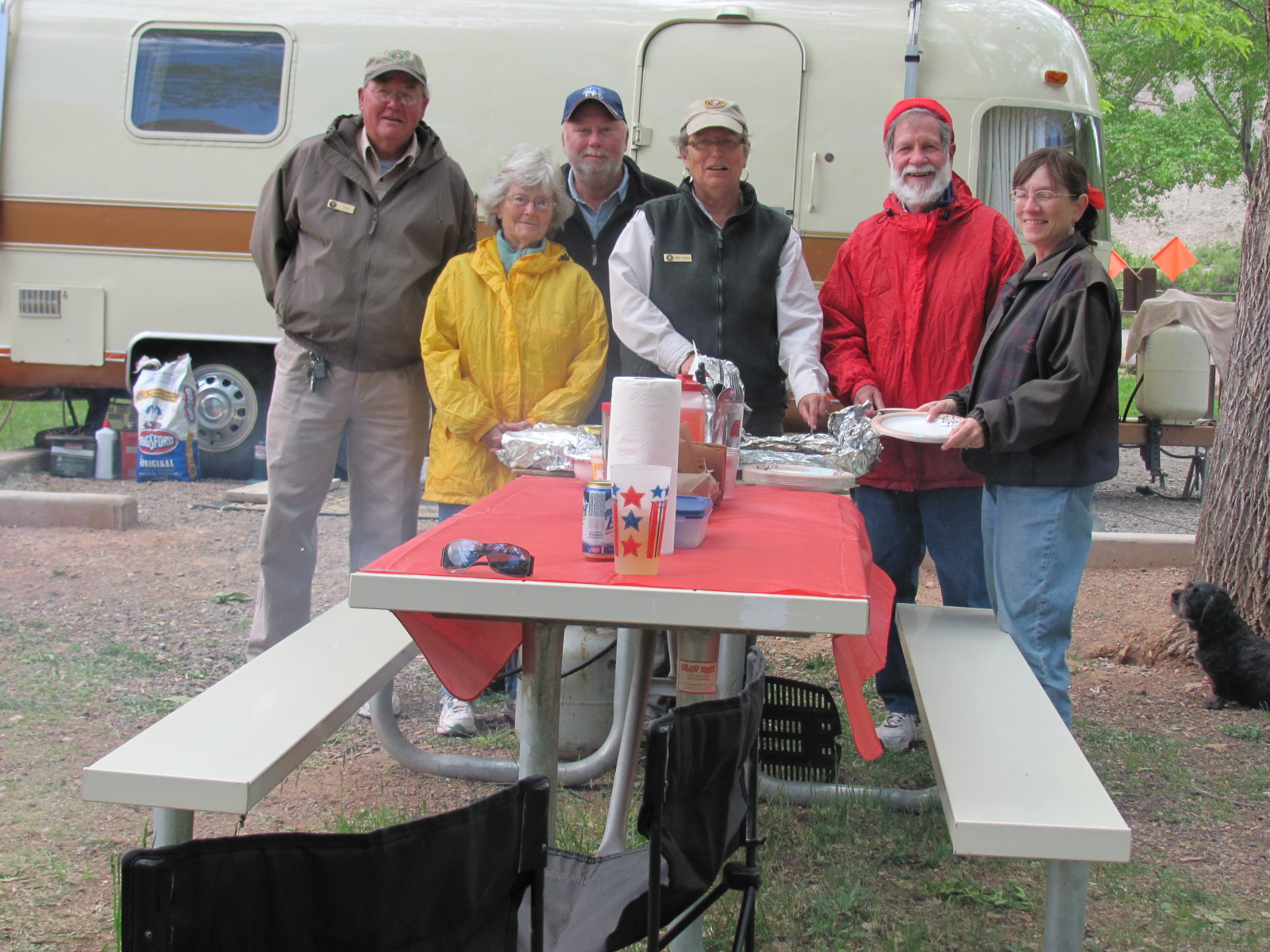
Every Memorial Day John and Nancy barbecue ribs on the grill, and this year was going to be no exception even though they were working. They invited us to join them along with Martin and Barbara. Nancy was also providing home cooked baked beans and slaw, I prepared deviled eggs, and Barbara brought 3 pies from the Gifford House. I had planned to use my breadmaker to provide some homemade bread, but the power went out for the entire county just as the bread was beginning to rise and was not back on by the time it was to start baking. No way would it be done in time….oh well. Unfortunately the weather had turned cool and breezy again, but we still managed to have a great time with good food and good friends.

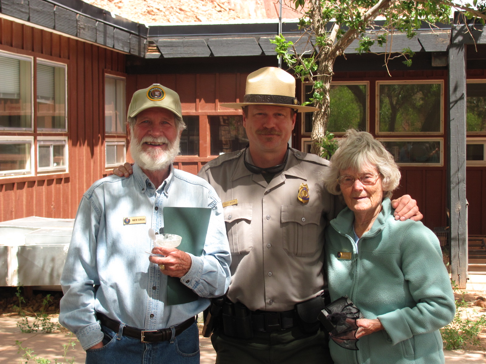
An ice cream social was held the next day behind the Visitors Center for Martin and Barbara's last day at Capitol Reef for the year. Chief Ranger Scott presented them with certificates of appreciation as well as attachments for their name badges that recognized their 13 years of volunteer service to the park. It was so nice to have them as our neighbors for the month of May and getting the opportunity to know them. Hopefully our paths will cross again.

Monday, May 23, 2011

No Way To Start The Day

The day began with a camper waiting outside our RV at 7am wanting to tell us about a deer that had its leg caught in a tree. We immediately headed over to assess the situation and saw the poor thing thrashing around on the ground with one of its forelegs caught in the V of one of the orchard trees. We had no idea how long she had been there and assume she had stood on her hind legs to get at some of the leaves on the lower branches and slipped. I called the staff biologist who lives down the road, and when she arrived, Russ tried to help her free the leg but to no avail. She left to find more help and soon a couple of guys arrived. In a flash they had the deer free as they seemed to know the perfect strategy, but it appeared the leg was broken as she limped a couple of feet and collapsed, completely exhausted. Within a couple of minutes she seemed to have gotten a second wind, stood up, and limped off down the trail, that leg buckling beneath her with each step. We finished our rounds, returned to the RV, and about half an hour later heard a gun shot. Russ got in the cart and headed to where she had last fallen. There she was in the same spot, and the ranger had needed to put her out of her misery, a task no one would relish. This was definitely no way to start the day.

Later that day a young couple came to let us know they had just seen a mountain lion resting near one of the trails by the campground. They were adamant about what they had seen so once again we needed to radio the ranger. He said they seemed pretty knowledgeable in their description and contacted the Resource Manager. Seems it’s not really uncommon to find mountain lions near the campground or even in it! They decided it was too late in the day to head up the trail looking for it so would wait until the next morning. They never did find it.

The rest of the work week was busy with the campground filling every night but no more excitement like that one day. We did have a group of 25 show up unexpectedly one night after the campground was filled but with the help of the Chief Ranger, we were able to accommodate them. Our front TV stopped working on another day, but fortunately we had the extra one outside that we set up on the dashboard until we can get the other one fixed.

The work week did end on a good note though. The Employee Association held their annual Welcome Back Barbecue at the town pavilion in Torrey. Nancy had offered to watch the campground for us if we wanted to go since she and John weren’t, and though the weather had turned cloudy, cold, and rainy, we decided we’d attend for a little while. The Association provided the meat and lemonade while everyone brought a side dish to share. The rain stopped before we arrived, the pavilion was indoors, and it was nice to just mingle with some of the staff on an informal basis. Sorry no photos...I forgot the camera.

Sunday, May 15, 2011

Hiking, Walking, Climbing

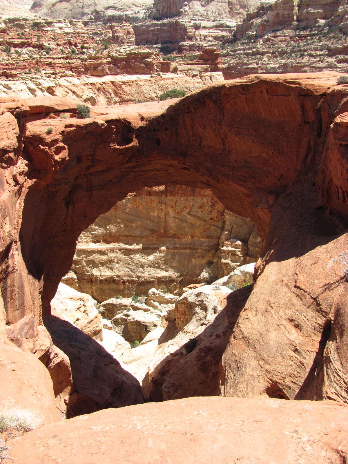
The weather finally turned warm on one of our days off so at last we could plan on taking a hike. We parked in the Grand Wash parking lot and began the 300 yards to the trailhead of Cassidy Arch. The entire trail is 3-1/2 miles roundtrip with an elevation change of 670 feet and is listed on the park’s brochure as a strenuous hike. We haven’t hiked in almost a year so why in the world would we start with an easy or even moderate one! LOL Most of the elevation change occurs in about the first half mile, and Russ said that was quite enough change in such a short distance for him! The arch was named after the outlaw, Butch Cassidy, who is thought to have occasionally used Grand Wash as a hideout. The picture of me at the beginning of this paragraph is actually near the start of the trailhead and is not of the arch. The views along the way were spectacular, and we made frequent stops to rest and enjoy the landscape laid out before us.

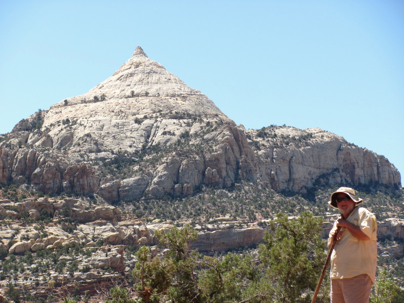
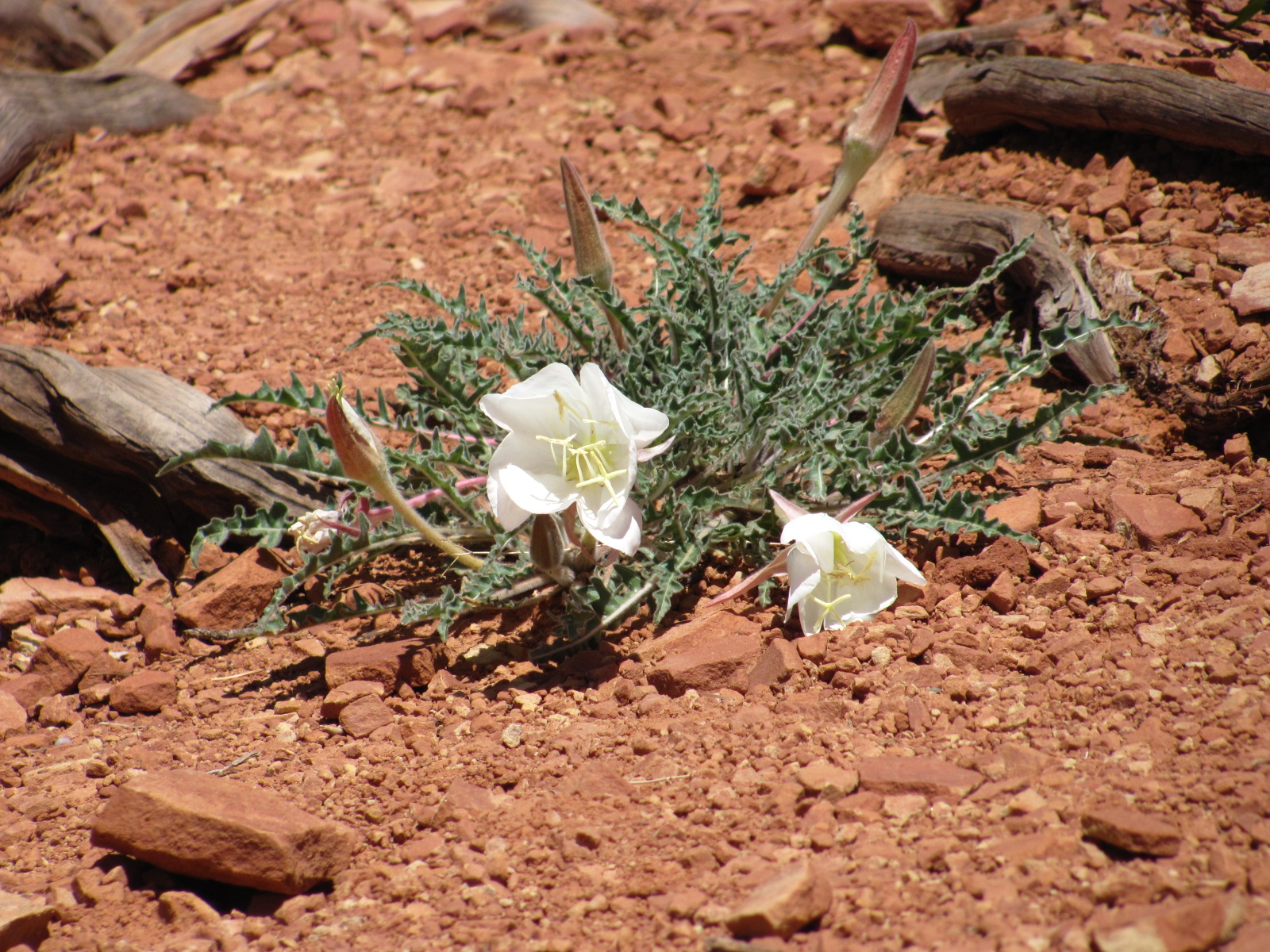
At one point we even had an impressive view of Navajo Dome in the distance (though I zoomed in a bit for the photo at right of Russ seeming to appear right in front of it). Eventually we had our first look at Cassidy Arch, and from this point it was another ½ mile hike along some smooth slickrock formations….careful where you step! Finally we reached our destination, and I’d like to say we were awestruck by what we saw, but I guess we’ve seen too many arches in the past few years. After having been to Arches National Park and also seeing arches at a couple other national parks that didn’t require as strenuous a hike, we’re just not sure it was worth the hike for us though it is amazing to see what nature has done. The hike back down seemed to go faster (why is that?), and we passed desert flowers in bloom plus we “discovered” another arch (below right) which Russ dubbed “The Farmer’s Arch”.


Not far down the Grand Wash from the Scenic Drive are a couple entrances to the Oyler Mine. The first claim to this uranium mine was staked in 1904, and in the 1920s pieces of uranium ore from this mine were ground up and mixed in drinking water, or worn in packets on waistbands, as a “cure” for rheumatism. Not sure that worked out real well as the cure was possibly worse than the disease! The openings are now closed off with grates which allow the bats to access the interior to roost and to keep people out.

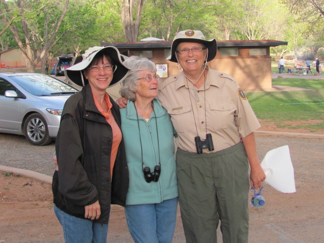
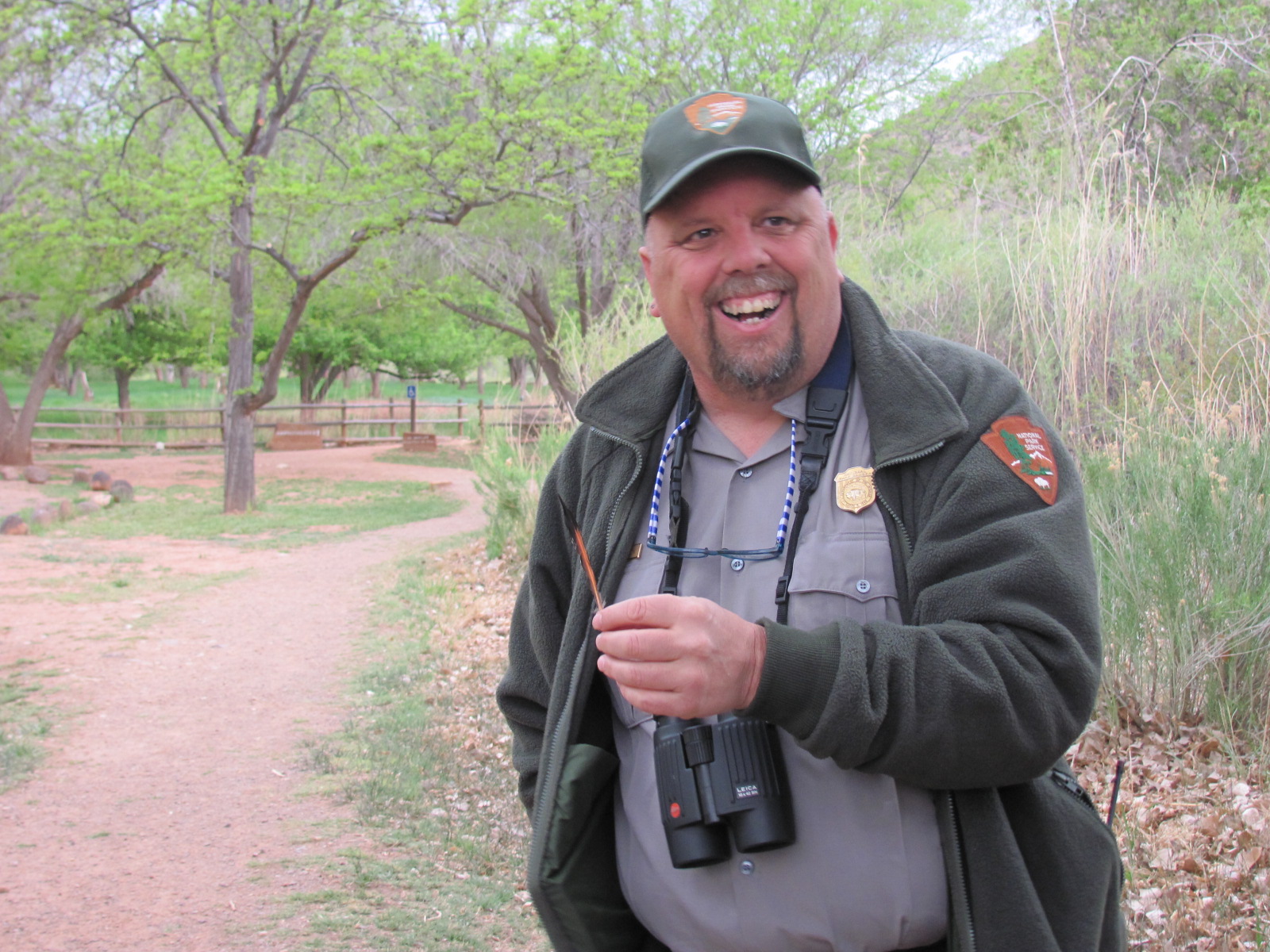
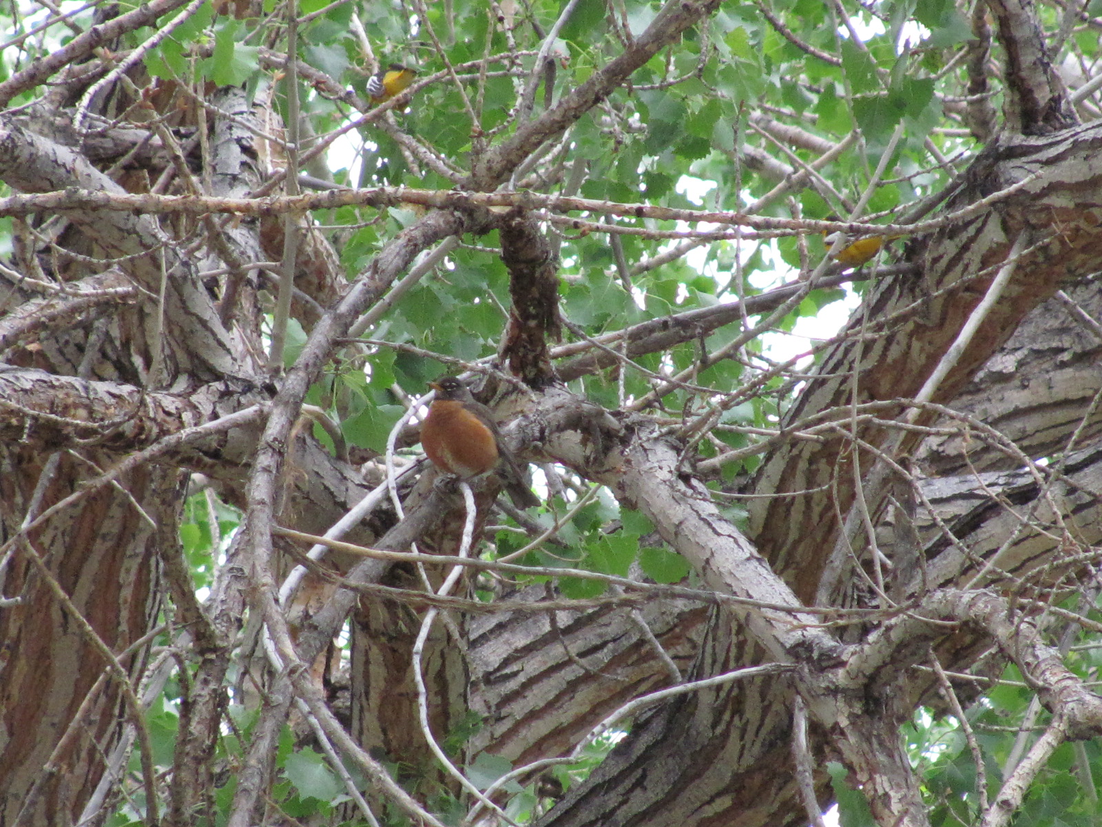
Sat., May 14, was National Migratory Bird Day, and each year Ranger Dave hosts a bird walk along the Fremont River. Barbara, Nancy, and I walked over to the picnic area where it was to start at 7:30 a.m. Unlike the beautiful day before, it was now overcast, cool, and a little windy, and we weren’t seeing many birds initially but maybe that had something to with the two little dogs that were brought along who clearly did not like each other. Why would you bring dogs on a bird walk? The owners kept trying to separate them, then finally left, and it seems the number of birds increased…imagine that! There are lots of well-fed American Robins in the area and just as I decided to snap a picture of one perched in a tree, two Orioles began fluttering around in the branches above. If you look closely at the photo (double-click to enlarge), you can see their bright yellow bodies. Barbara was getting too chilly and decided to head back for some coffee, and Nancy felt she really should get back to the campground to help John since she was technically on duty. I continued on with the group.


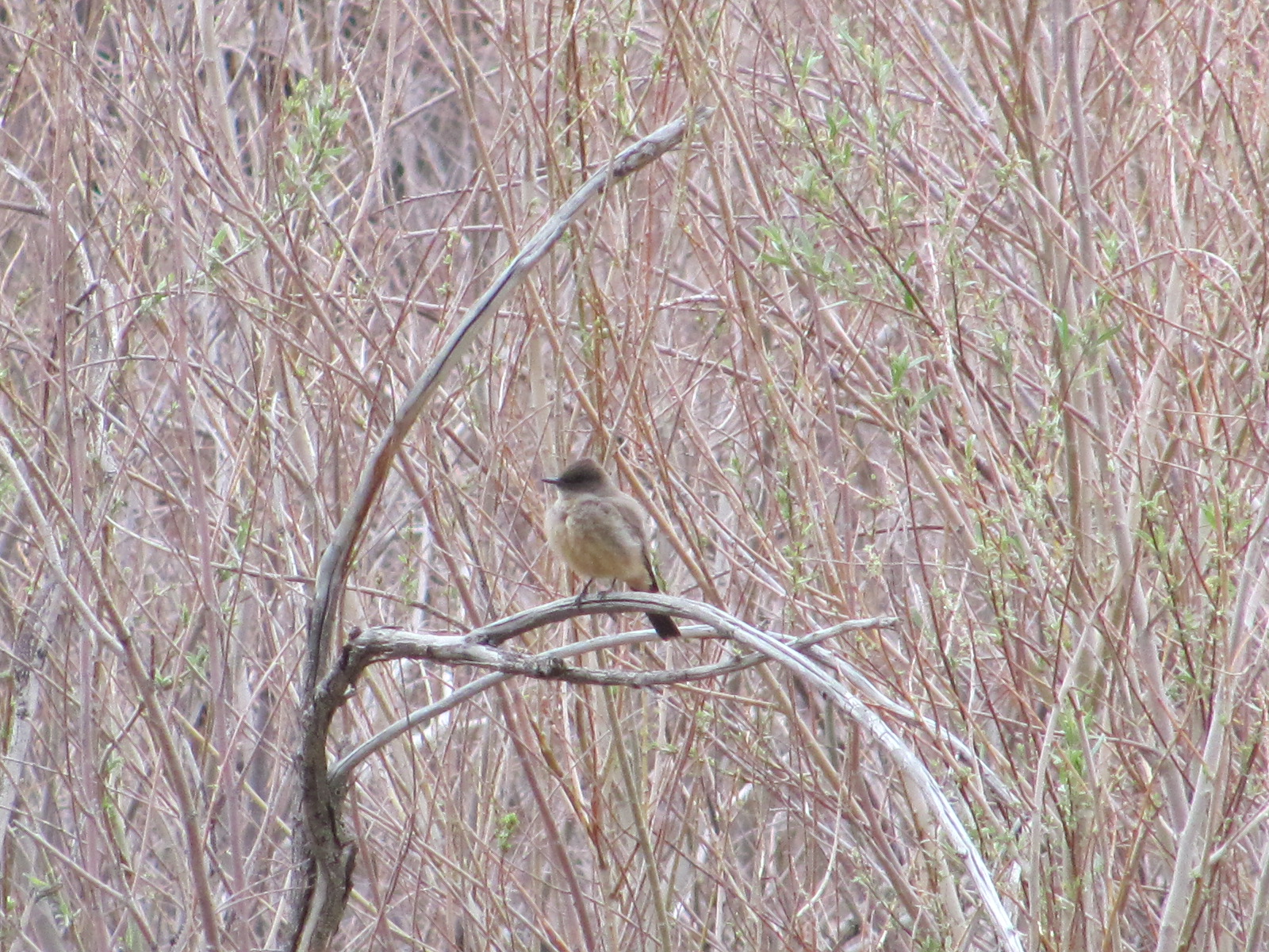
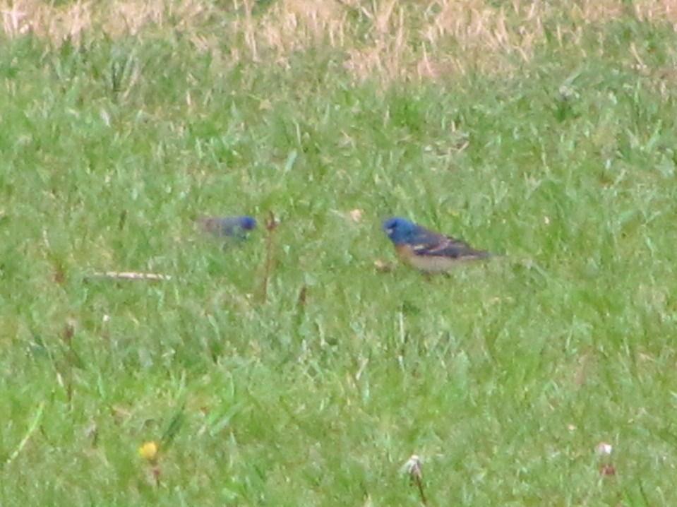
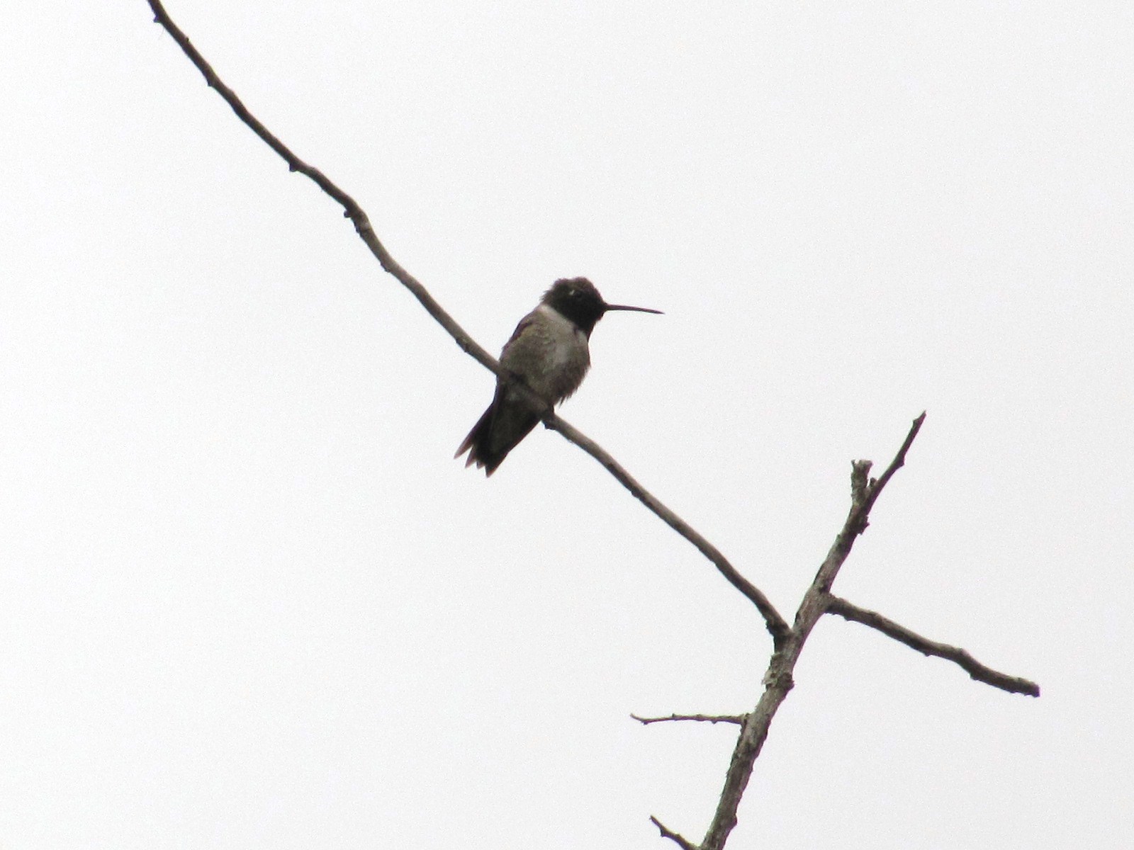
From the picnic area, we strolled across the street towards the Gifford House where we found a Yellow-Rumped Warbler sitting atop a bush just outside and a Say’s Phoebe in another bush nearby (okay so I didn’t know the names of the pretty birdies until Dave told us). As we continued along the Fremont River, birds were spotted here and there but not always by me. However, perched at the very top of a bare branch (not much higher off the ground than the top of my head) was a Black-chinned Hummingbird that just sat there for the longest time (posing for pictures evidently!) We also spotted an Indigo Bunting and a Lazuli Bunting searching for food in the grass, but the photo below right does not do justice to their bright blue coloring. We saw several more birds along the way, but I didn’t get good pictures of them or they flew off too quickly to catch on film.


However, one of the last things we saw on our walk was a Golden Eagle flying near the rock face across from the campground. As we all trained our binoculars in that direction, it landed in a crevice near the top and someone spotted its nest. Dave said that there had been reports of an eagle’s nest in the area but they hadn’t seen it yet. I couldn’t see the it with my binoculars, but one gentleman with higher powered ones than me said he could see a couple eaglets in the nest! The next afternoon Russ and I got out our telescope and aimed it in the direction of the nest. Being at a different angle than I had been the day before, it was not as easy to see into the crevice but we could see one of the eagles perched at the right-hand edge. And there it sat for the next hour and a half. As you can imagine, people were curious as to what we were looking at, and we offered a look to anyone who asked. I zoomed in my camera as far as I could to try and get a shot of the eagle, and though a little blurred from enlarging, hopefully you can see it especially if you double-click on the photo (look for the white arrow pointing to it). Around 4:30 it flew off, and we didn’t see it again the rest of the evening.

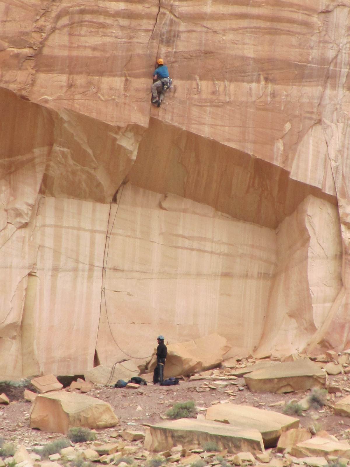
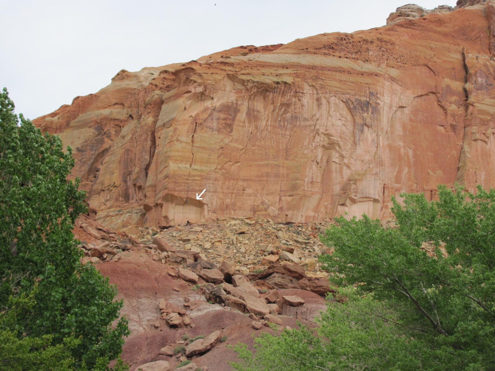
Besides hiking, rock climbing is a favorite pastime of many who visit Capitol Reef, and one day we spotted a couple guys attempting to do so in an area directly across from the campground. As we chatted with one of the rangers while watching them, he told us that it probably took the guys a couple of hours just to get to that point and figured they would only climb to the top of the overhang. Only one of the guys actually climbed and shortly after the picture above left was taken, he repelled down to where his buddy was. Obviously I had zoomed in for that photo, so at right is a photo of the rockface with an arrow pointing to the area where they were. Some folks just love a challenge!