[Click on any photo to enlarge.]
 |
| Mountain Bluebird |
*Critters we’ve seen on our
2015 trip so far: elk, mule, mule deer, llama, prairie dog, donkey
*Birds we’ve seen on our 2015
trip so far: California condor, Brewer’s blackbird, American kestrel, spotted
towhee, magpie, wild turkey, mountain
bluebird
*National Parks/Monuments visited on 2015 trip so far: 3
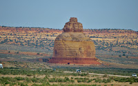 It was
time to travel back west and north into Utah,
still enjoying some beautiful and fascinating scenery along the way like Church
Rock pictured here. This 3-tiered sandstone
rock column stands about 200 ft. tall.
There’s a myth that a religious cult hollowed out a 16’ x 24’ opening in
the rock to use it for their church (thus its name), but it was actually
dynamited by the owner back in the 1940s to store feed for his cattle.
It was
time to travel back west and north into Utah,
still enjoying some beautiful and fascinating scenery along the way like Church
Rock pictured here. This 3-tiered sandstone
rock column stands about 200 ft. tall.
There’s a myth that a religious cult hollowed out a 16’ x 24’ opening in
the rock to use it for their church (thus its name), but it was actually
dynamited by the owner back in the 1940s to store feed for his cattle.
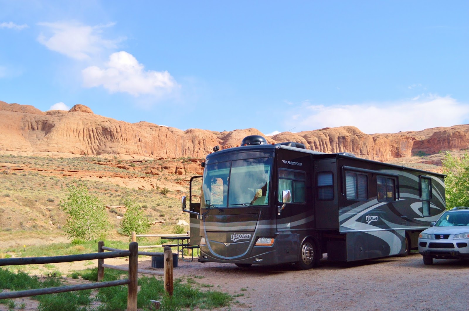
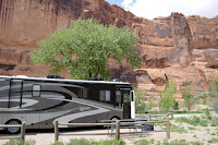 We were
headed for Moab,
UT, and hopefully a campsite at Goose Island Campground
We were
headed for Moab,
UT, and hopefully a campsite at Goose Island Campground (
BLM-GooseIsland). Run by the Bureau
of Land Management, it’s located on the Colorado River, has 19 sites, and is
conveniently located for reaching Canyonlands National Park (29 miles away) and
Arches
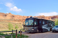 National Park (4 miles away) and this campground offers spectacular
views of the park’s red rock cliffs. We arrived
about 10:30 AM, and though half the campground was closed for weed abatement
spraying, we were lucky enough to snag the last open site that just happened to
be big enough for our rig and car!
National Park (4 miles away) and this campground offers spectacular
views of the park’s red rock cliffs. We arrived
about 10:30 AM, and though half the campground was closed for weed abatement
spraying, we were lucky enough to snag the last open site that just happened to
be big enough for our rig and car!
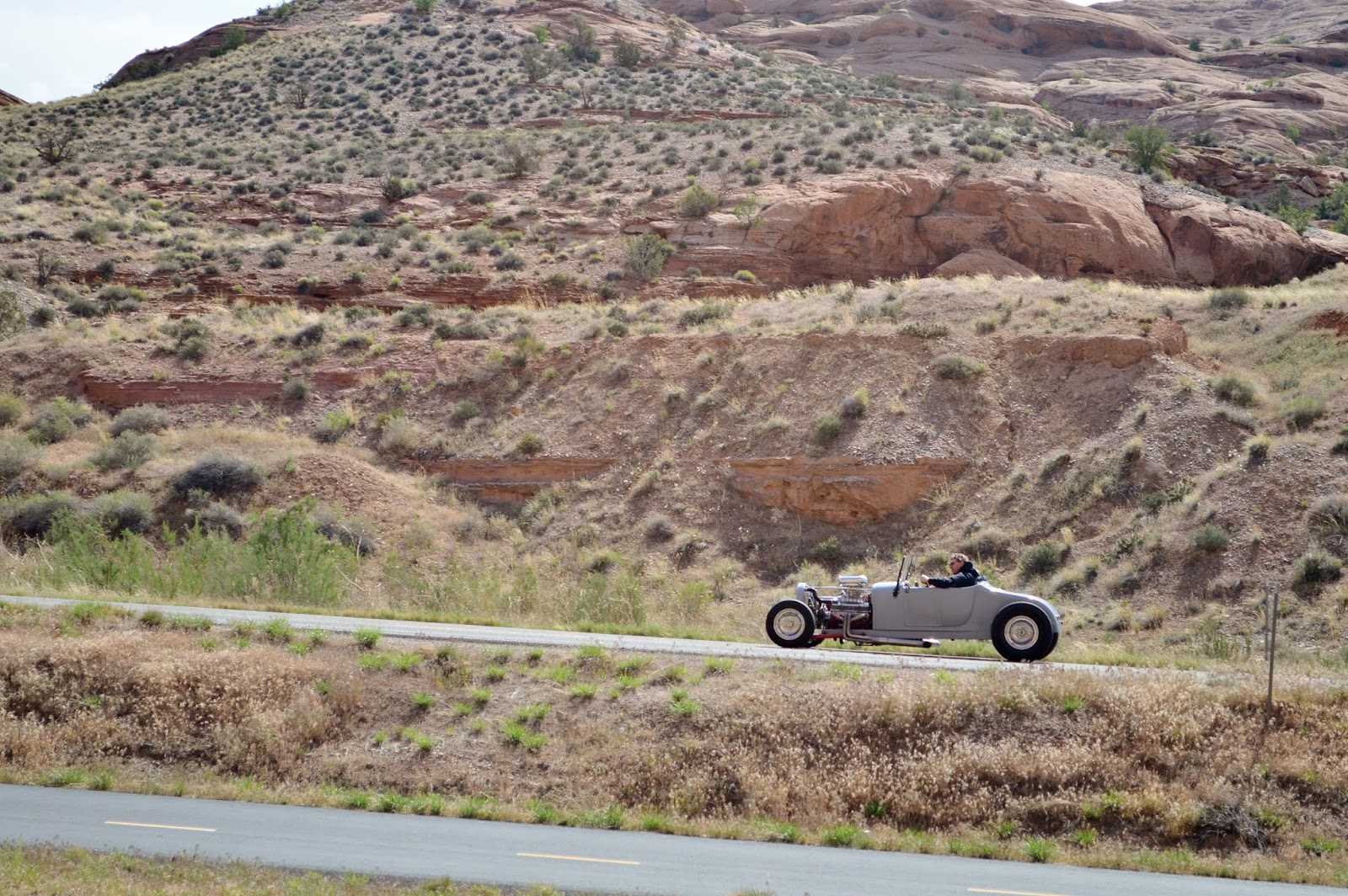
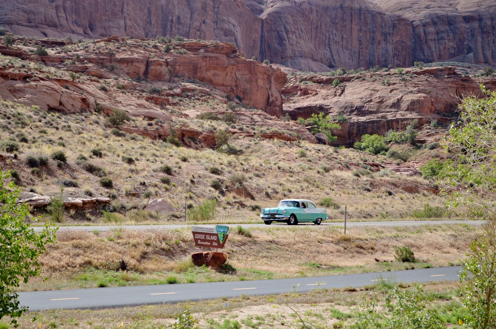
 Though we
didn’t have a riverfront site, we still had great views of the surrounding
cliffs plus front row seats to watch the Rod Run. Every year since 1992, Moab has hosted the
April Action Car Show which brings hundreds of hot rods, muscle cars, and other
classic cars to town (though any kind of car is
Though we
didn’t have a riverfront site, we still had great views of the surrounding
cliffs plus front row seats to watch the Rod Run. Every year since 1992, Moab has hosted the
April Action Car Show which brings hundreds of hot rods, muscle cars, and other
classic cars to town (though any kind of car is
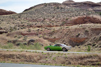 accepted). The event averages about 400 cars per year,
and the Rod Run starts off the festivities with a group of some of the cars
make the scenic drive up Hwy. 128 right past the campground (this is just a
sampling).
accepted). The event averages about 400 cars per year,
and the Rod Run starts off the festivities with a group of some of the cars
make the scenic drive up Hwy. 128 right past the campground (this is just a
sampling).
 That
evening we also got to witness a bit of the Sound & Light Show put on by
one of the local tour companies. After a dinner and once it's dark, folks are loaded
onto a boat and head up river on the Colorado
with a guide. Out on Hwy. 128 a truck
begins illuminating the canyon walls with 40,000 watts of light which not
That
evening we also got to witness a bit of the Sound & Light Show put on by
one of the local tour companies. After a dinner and once it's dark, folks are loaded
onto a boat and head up river on the Colorado
with a guide. Out on Hwy. 128 a truck
begins illuminating the canyon walls with 40,000 watts of light which not
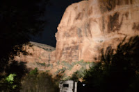 only
highlights various aspects of the canyon walls but also creates interesting
shadows to enhance the guides stories and history of the area. Evidently there’s music onboard to help with
the narration, but we couldn’t hear it in the campground. Unfortunately I couldn’t get any decent
pictures but you get the idea.
only
highlights various aspects of the canyon walls but also creates interesting
shadows to enhance the guides stories and history of the area. Evidently there’s music onboard to help with
the narration, but we couldn’t hear it in the campground. Unfortunately I couldn’t get any decent
pictures but you get the idea.
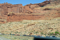 Of course our main purpose here was to once again visit
the national parks. We decided to start
with Canyonlands and are we glad we did.
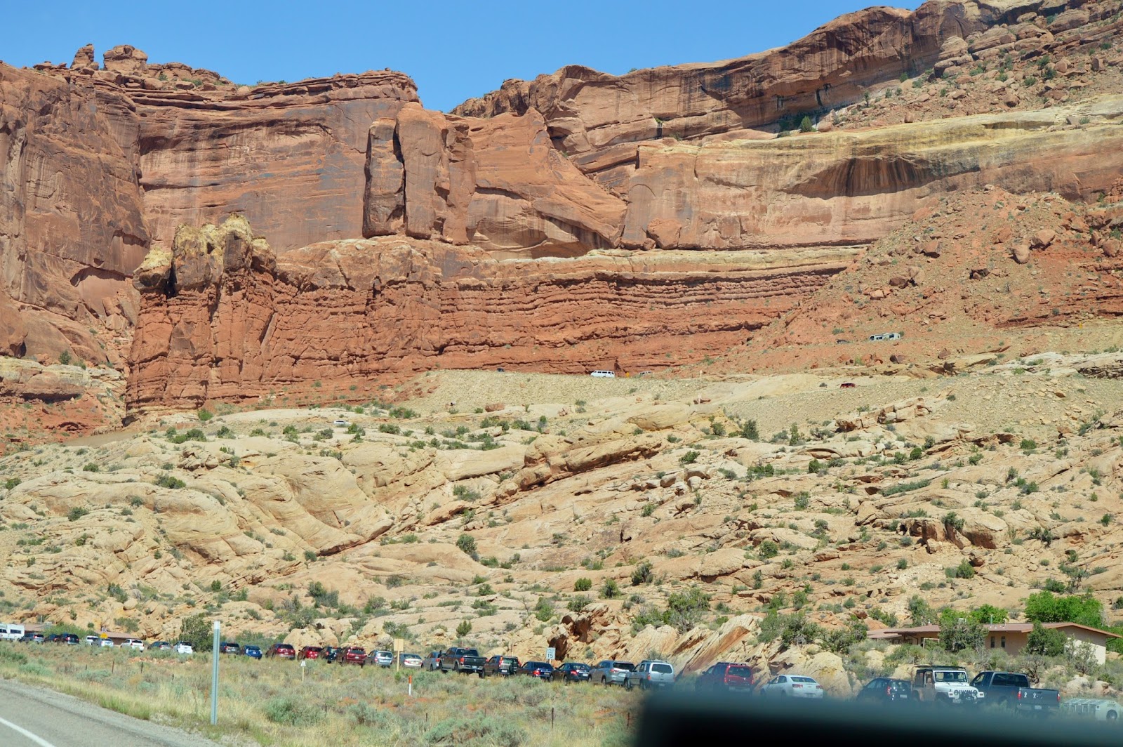
Just look at the line waiting to get into Arches! Canyonlands National Park (www.nps.gov/cany/) was established in 1964
and preserves the canyons, mesas, and
Of course our main purpose here was to once again visit
the national parks. We decided to start
with Canyonlands and are we glad we did.
Just look at the line waiting to get into Arches! Canyonlands National Park (www.nps.gov/cany/) was established in 1964
and preserves the canyons, mesas, and
 buttes created by the Colorado
and Green Rivers within a 527 sq. mi. area. We once again visited the Island
in the Sky section, one of three distinct sections and the most easily
accessible. There are no roads within the park that link the three sections or
that cross the Colorado or Green Rivers. After a
buttes created by the Colorado
and Green Rivers within a 527 sq. mi. area. We once again visited the Island
in the Sky section, one of three distinct sections and the most easily
accessible. There are no roads within the park that link the three sections or
that cross the Colorado or Green Rivers. After a
 brief stop at the Visitor Center,
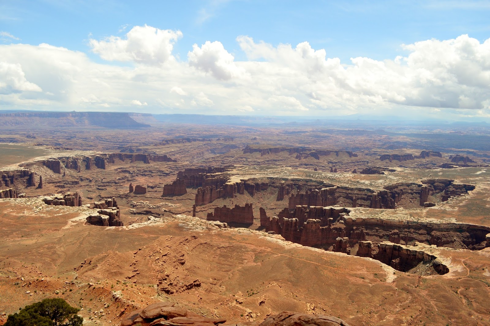
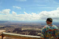
we headed out to Grand View Point Overlook (elevation 6,080 ft.). Russ has commented before that if you had
never been to the Grand Canyon, and someone brought you to Canyonlands and told
you it was the Grand
Canyon, there’d be no reason you wouldn’t believe him.
brief stop at the Visitor Center,
we headed out to Grand View Point Overlook (elevation 6,080 ft.). Russ has commented before that if you had
never been to the Grand Canyon, and someone brought you to Canyonlands and told
you it was the Grand
Canyon, there’d be no reason you wouldn’t believe him.
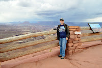
Since
we’d visited the park a couple of times before and we could see a storm forming
in the distance, we only visited a few spots including Green River
Overlook. On a previous visit Russ had
made an interesting
 discovery. The
overlook’s fence is composed of logs and layers of stones. On one of the cap stones
Russ had noticed what looked like leaves spray painted on top, and he had asked a
nearby ranger
discovery. The
overlook’s fence is composed of logs and layers of stones. On one of the cap stones
Russ had noticed what looked like leaves spray painted on top, and he had asked a
nearby ranger
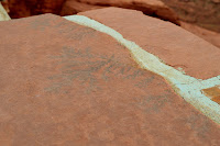 about them. The ranger said he had never noticed them before, but
they were indeed plant fossils…very cool!
about them. The ranger said he had never noticed them before, but
they were indeed plant fossils…very cool!
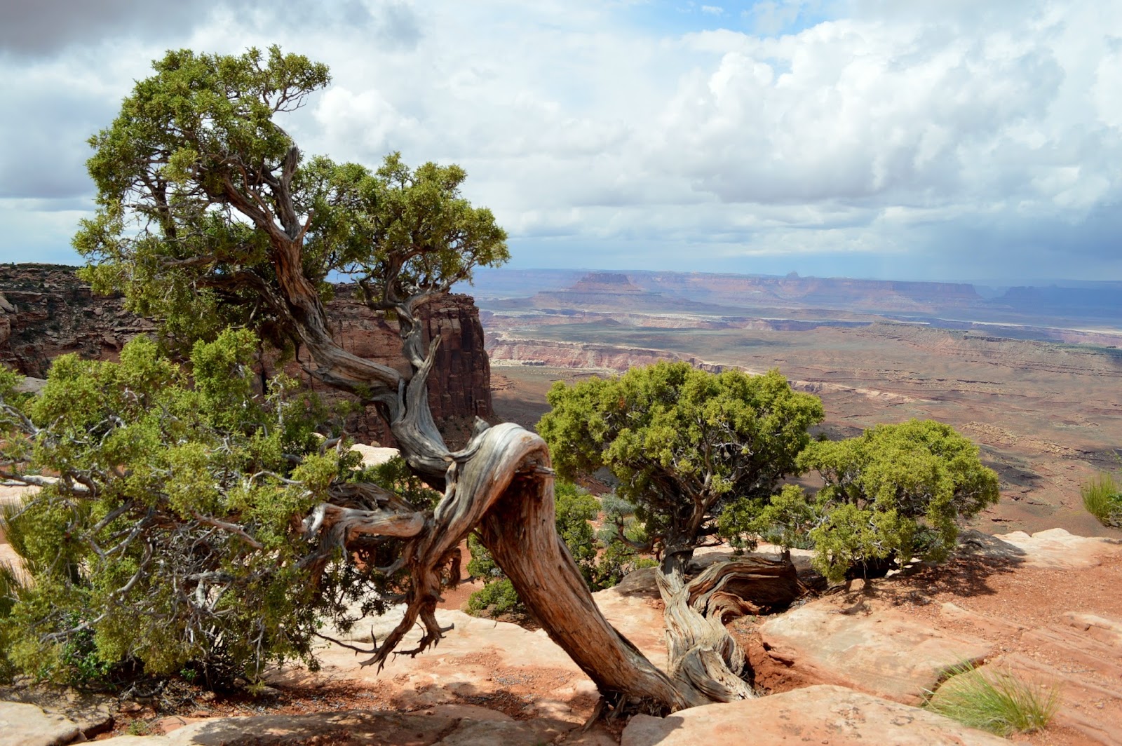
 We also stopped at Orange Cliffs and Buck Canyon
Overlooks, both with varying views of the canyons (though the twisted tree at Orange Cliffs caught my eye more so than the canyon!) There were no hikes
We also stopped at Orange Cliffs and Buck Canyon
Overlooks, both with varying views of the canyons (though the twisted tree at Orange Cliffs caught my eye more so than the canyon!) There were no hikes
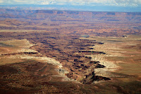 this time around especially with the impending storm. We simply enjoyed the magnificent scenery and marveled at what Mother Nature has created. Canyonlands is truly a remarkable place with
lots of history and geology.
this time around especially with the impending storm. We simply enjoyed the magnificent scenery and marveled at what Mother Nature has created. Canyonlands is truly a remarkable place with
lots of history and geology.
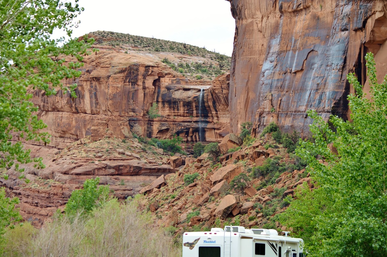
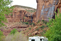
The rain did come and later that afternoon there were
some beautiful waterfalls coming from the red rock cliffs surrounding the
campground.

 A couple
of days later we visited Arches
National Park (www.nps.gov/arch) and there were no long lines …timing is everything!
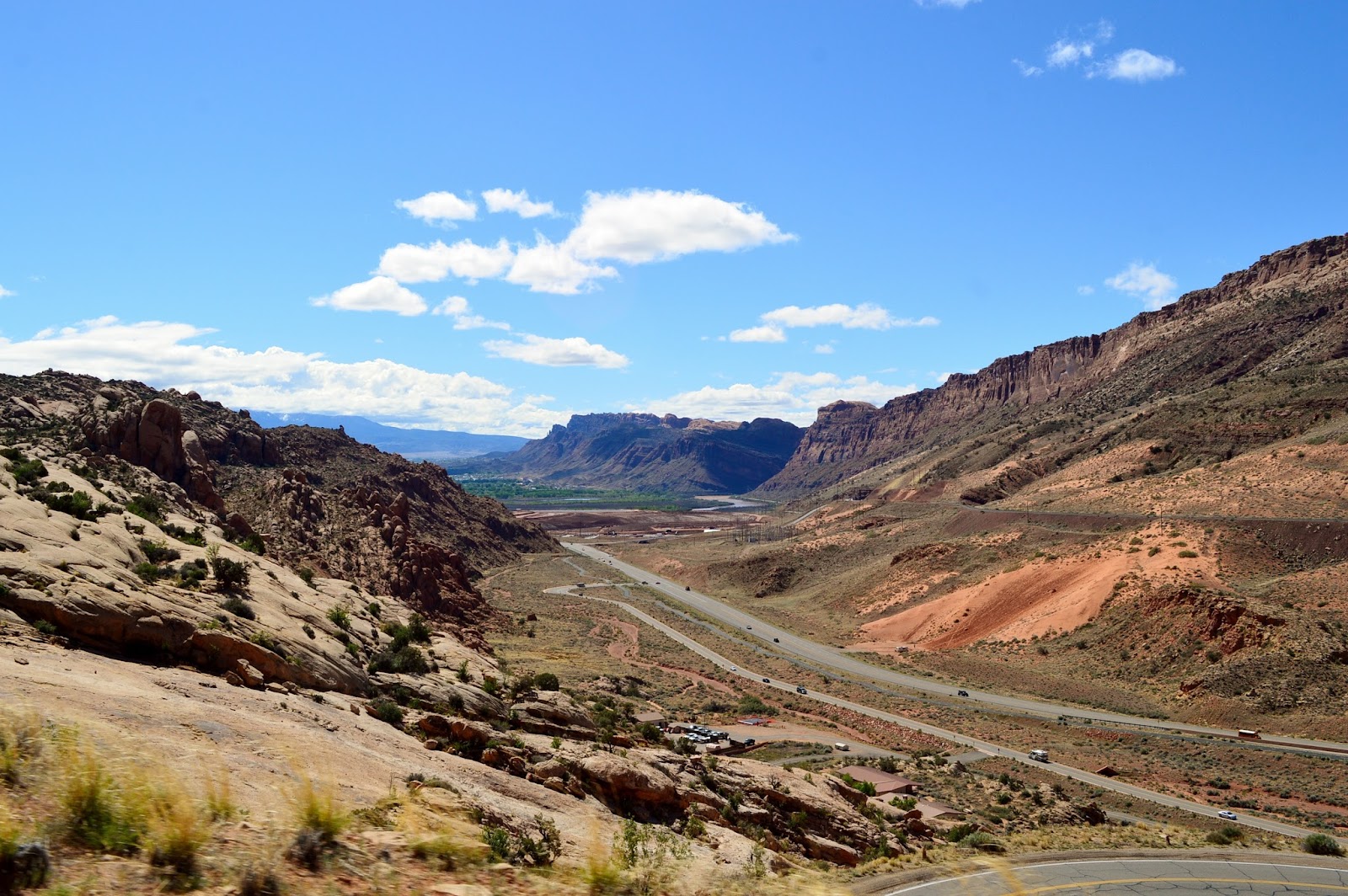
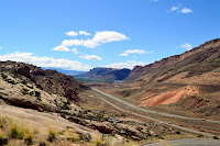
After a quick stop at the visitor center, we began the climb to the heart of the park along several
switchbacks which offer a great view of Moab Canyon.
A couple
of days later we visited Arches
National Park (www.nps.gov/arch) and there were no long lines …timing is everything!
After a quick stop at the visitor center, we began the climb to the heart of the park along several
switchbacks which offer a great view of Moab Canyon.
 Arches
was originally named a national monument in 1929 and became a national park in
1971. Within its 119 sq. mi. are over
2,000 stone arches of varying size (the greatest density of natural arches in
the world) as well as hundreds of pinnacles, fins, balanced rocks, and so much
Arches
was originally named a national monument in 1929 and became a national park in
1971. Within its 119 sq. mi. are over
2,000 stone arches of varying size (the greatest density of natural arches in
the world) as well as hundreds of pinnacles, fins, balanced rocks, and so much
 more. This red rock wonderland appears
sort of like what our perception was as we grew up of what Mars would look
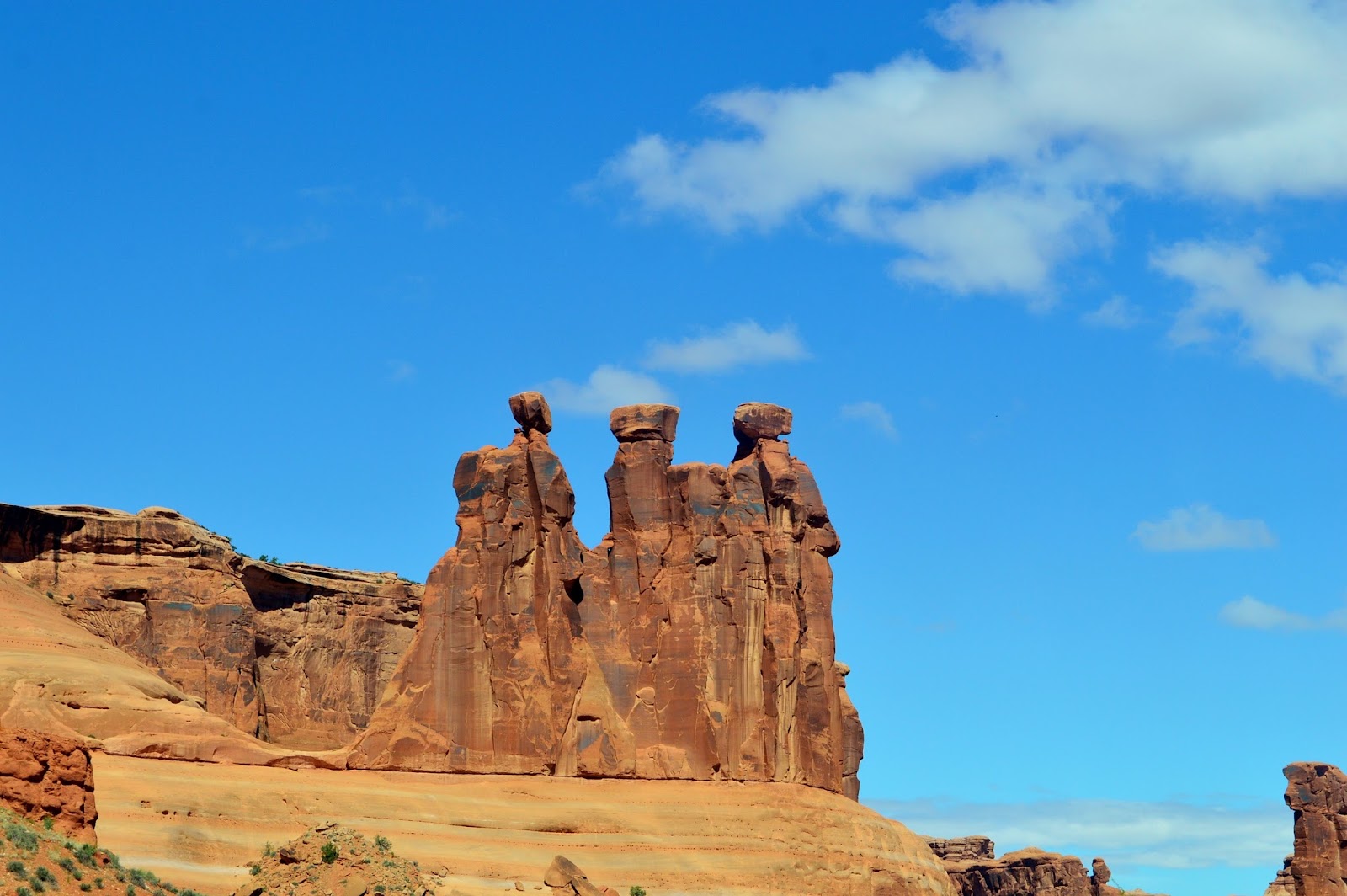
like. Many of the formations have been
given names like the Three Gossips (at left) which as you can see is
more. This red rock wonderland appears
sort of like what our perception was as we grew up of what Mars would look
like. Many of the formations have been
given names like the Three Gossips (at left) which as you can see is
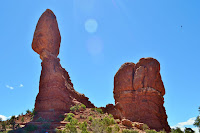 appropriately named as is Balanced Rock which stands about 128 ft. high with
the top rock about the size of 3 school buses and weighing 3,500 tons. There’s a loop trail around its base of about
3/10 mile and is the only “hike” taken this day.
appropriately named as is Balanced Rock which stands about 128 ft. high with
the top rock about the size of 3 school buses and weighing 3,500 tons. There’s a loop trail around its base of about
3/10 mile and is the only “hike” taken this day.
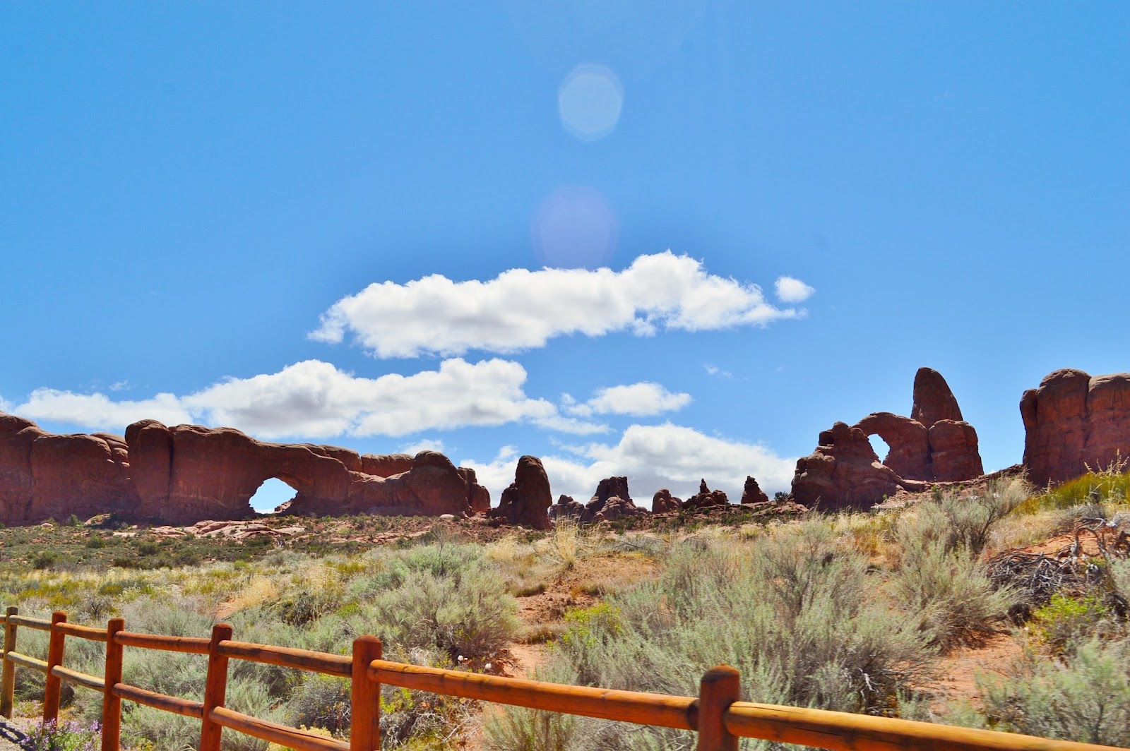
 In the
Windows section of the park, we briefly stopped to view the North and South
Windows and Turret Arch (didn’t get all 3 in a picture), and on the other
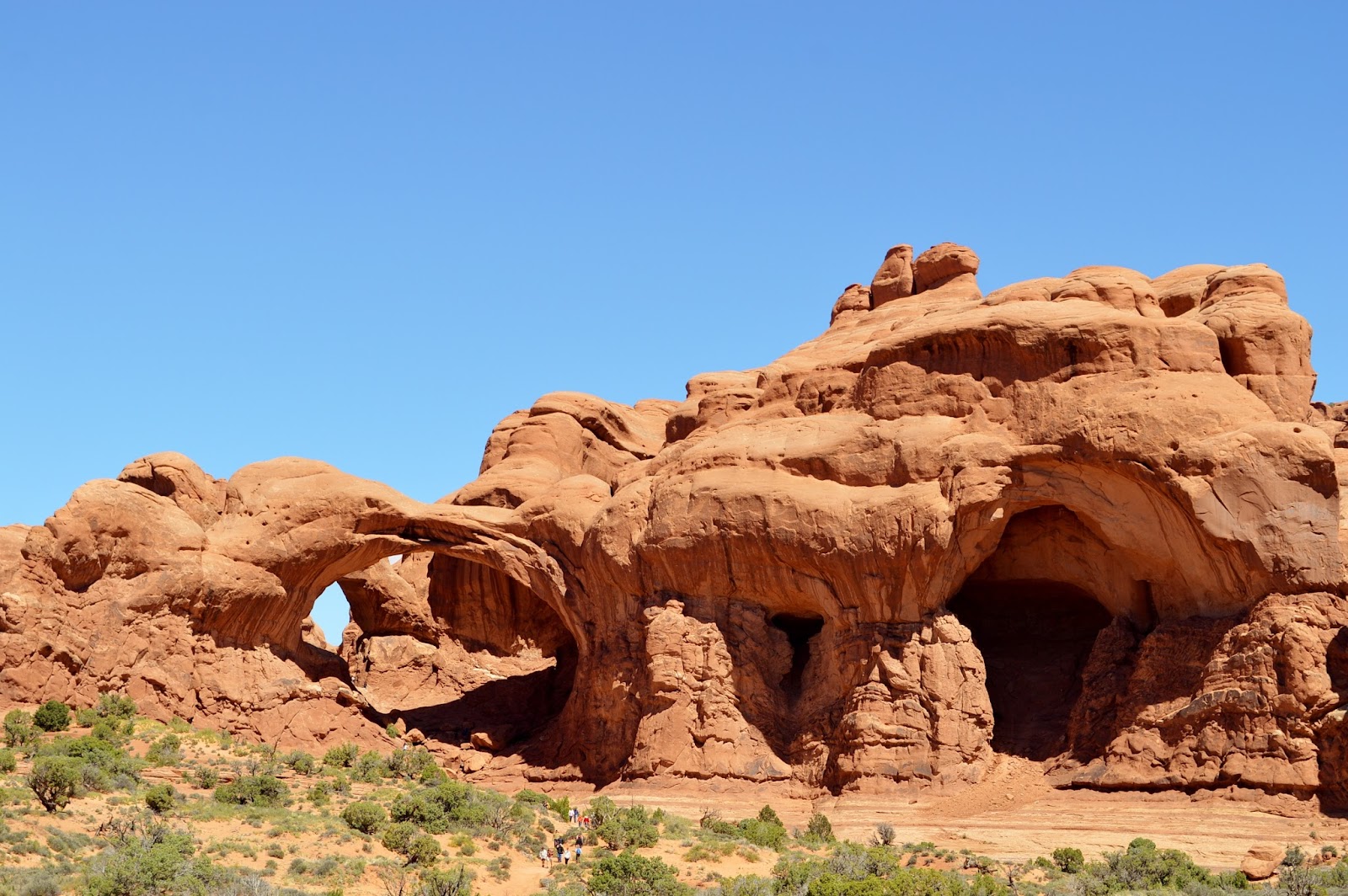
side of the parking lot we checked out the Double Arch. It actually has three major openings that
began as one
In the
Windows section of the park, we briefly stopped to view the North and South
Windows and Turret Arch (didn’t get all 3 in a picture), and on the other
side of the parking lot we checked out the Double Arch. It actually has three major openings that
began as one
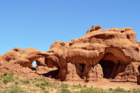 pothole arch, eventually eroding into what we see today, and they are
still continuing to slowly enlarge. At
present the largest opening is about 148 ft. with a height of 112 ft.
pothole arch, eventually eroding into what we see today, and they are
still continuing to slowly enlarge. At
present the largest opening is about 148 ft. with a height of 112 ft.
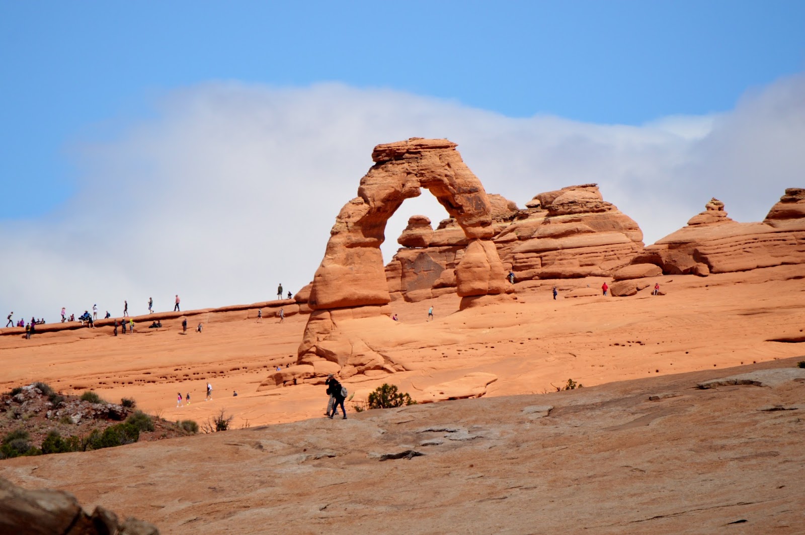
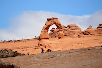 Of course
no trip to Arches would be complete without a stop at Delicate Arch, the most
famous of the arches and the state symbol displayed on Utah license plates. This free-standing sandstone formation stands
45 ft. high and 33 ft. wide, and no, my photo isn’t crooked, it actually slants
downhill.
Of course
no trip to Arches would be complete without a stop at Delicate Arch, the most
famous of the arches and the state symbol displayed on Utah license plates. This free-standing sandstone formation stands
45 ft. high and 33 ft. wide, and no, my photo isn’t crooked, it actually slants
downhill.
Over the
centuries many arches and formations have been destroyed through erosion and
weather but many new ones have formed as well.
Nature continues to slowly alter this magnificent landscape creating an almost other
 worldly look and feel. The beauty and starkness of
this park is astounding and continues to be one of the top destinations in America.
worldly look and feel. The beauty and starkness of
this park is astounding and continues to be one of the top destinations in America.
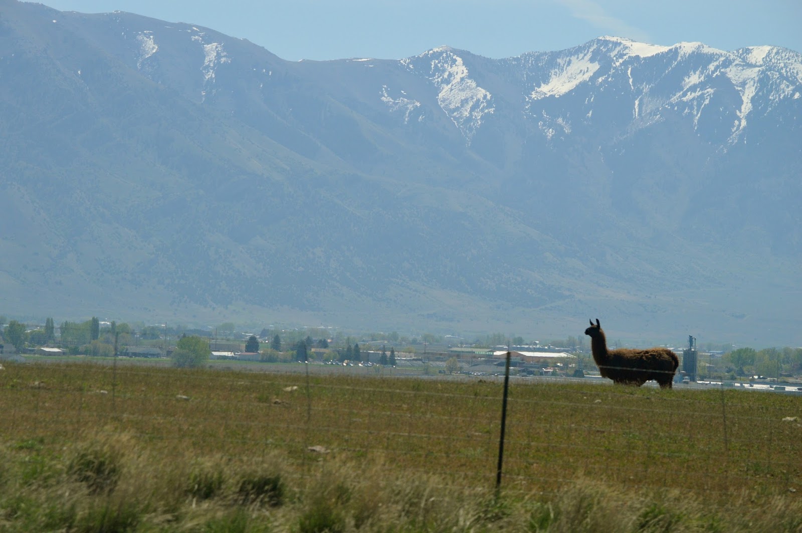
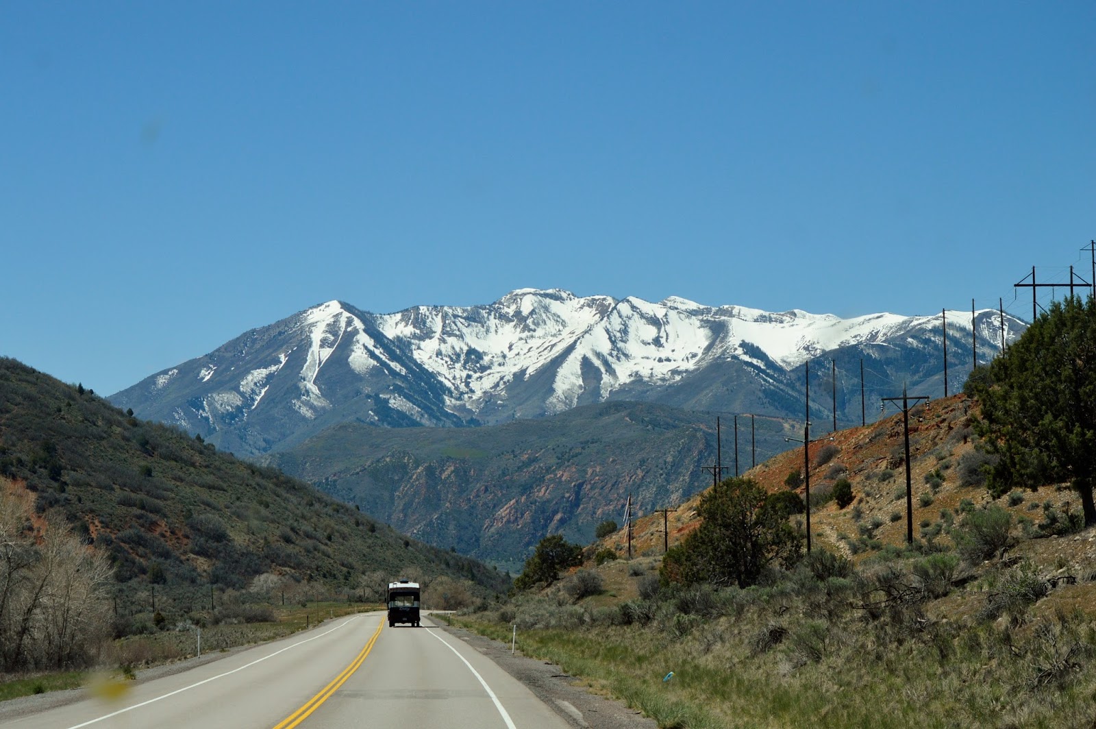
 It was
time to make the final push to our summer home…
It was
time to make the final push to our summer home…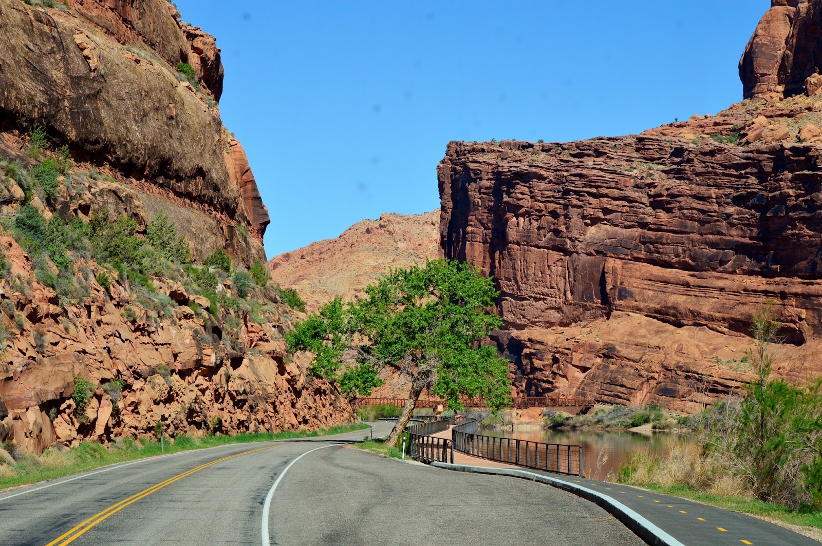
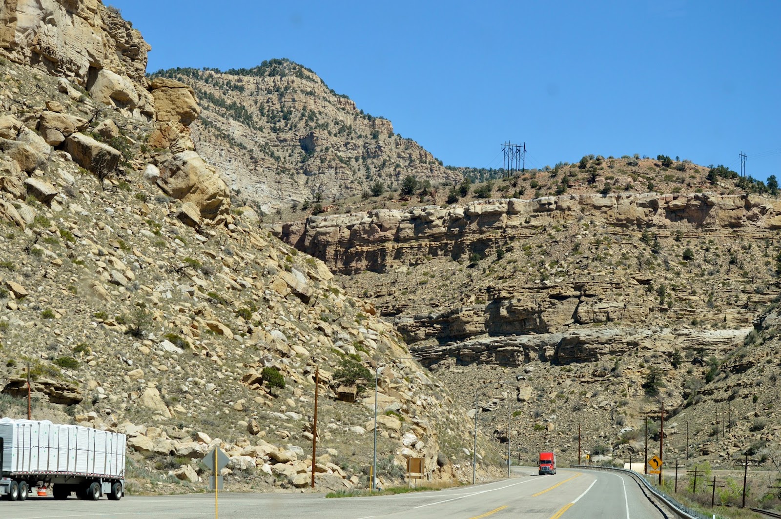
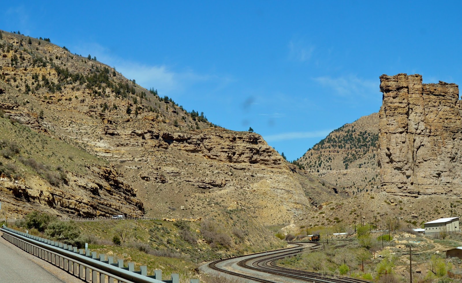
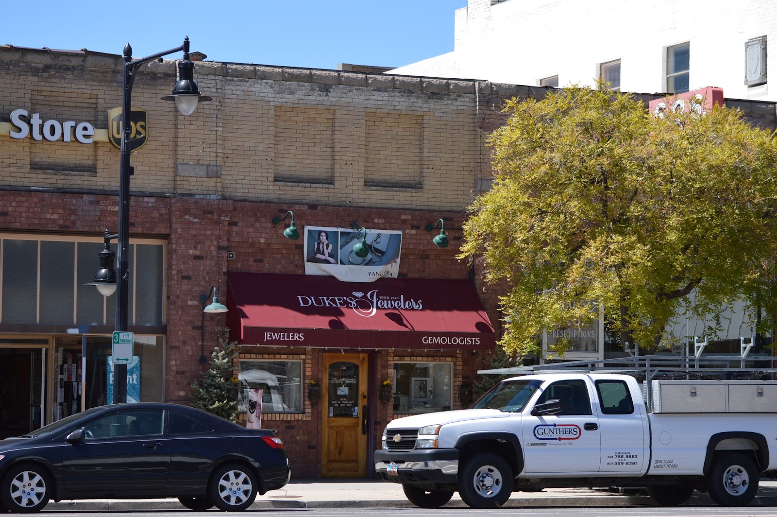 The day
before we left FL one of the links on my brand new watch had come out, and we
kept hoping to find a jewelry store along the way to fix it. Unfortunately the stores in
The day
before we left FL one of the links on my brand new watch had come out, and we
kept hoping to find a jewelry store along the way to fix it. Unfortunately the stores in 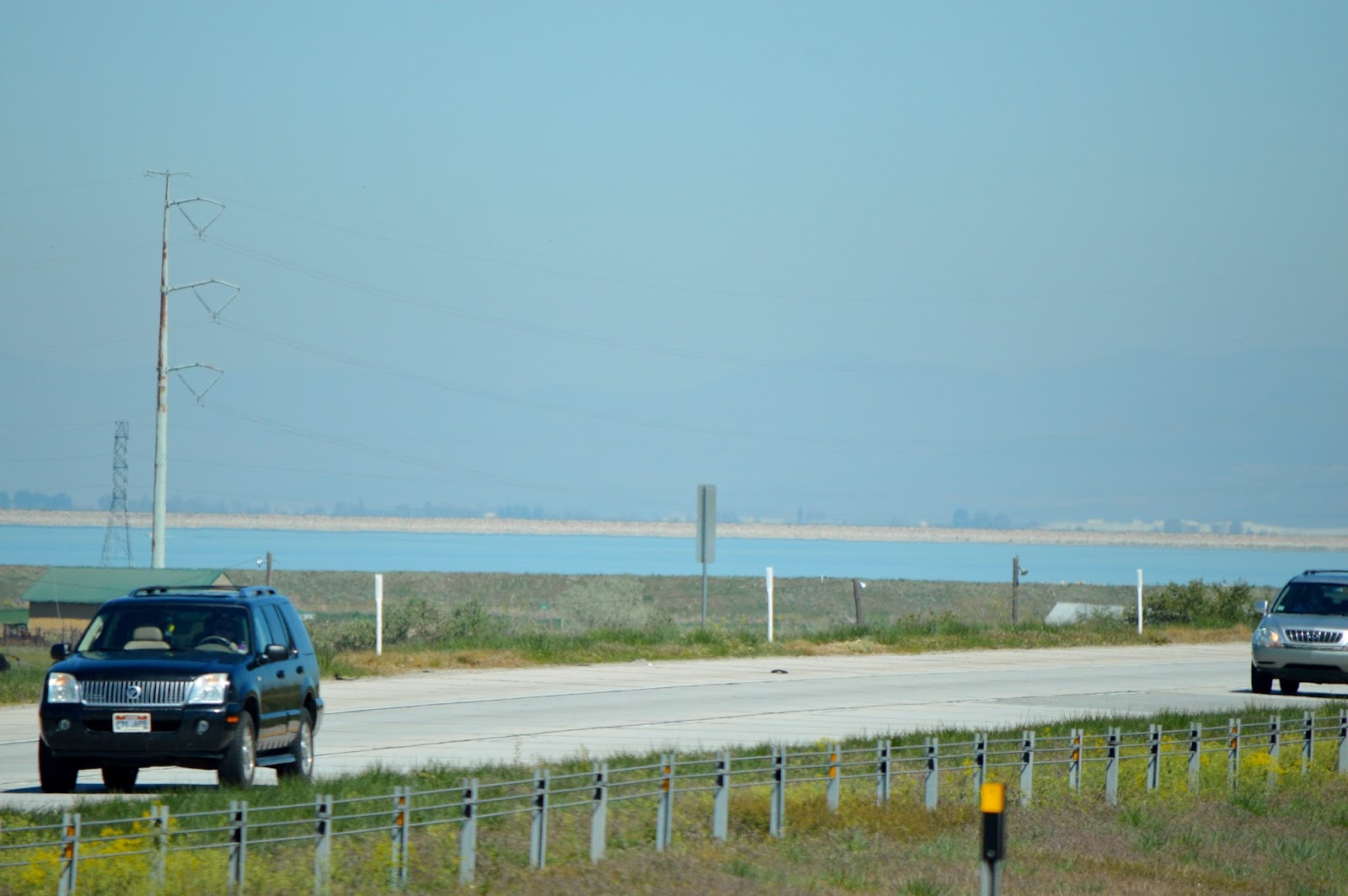 We
started heading north again passing the Great Salt
We
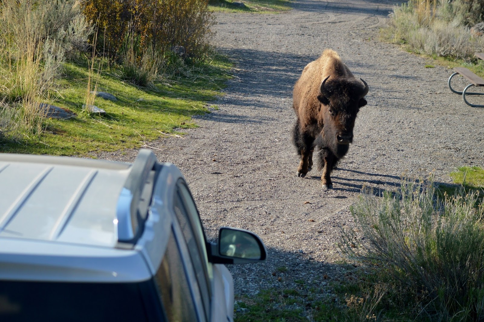
started heading north again passing the Great Salt 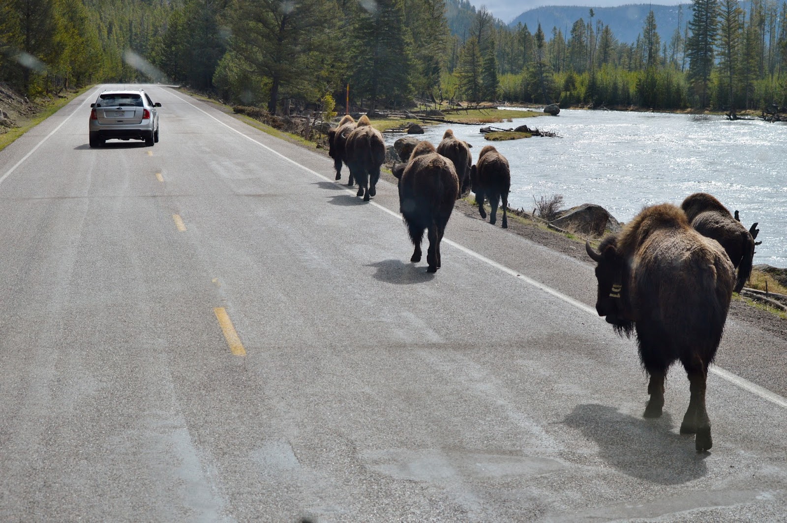 our first bison of the season taking their leisurely stroll on the
roadway alongside the
our first bison of the season taking their leisurely stroll on the
roadway alongside the 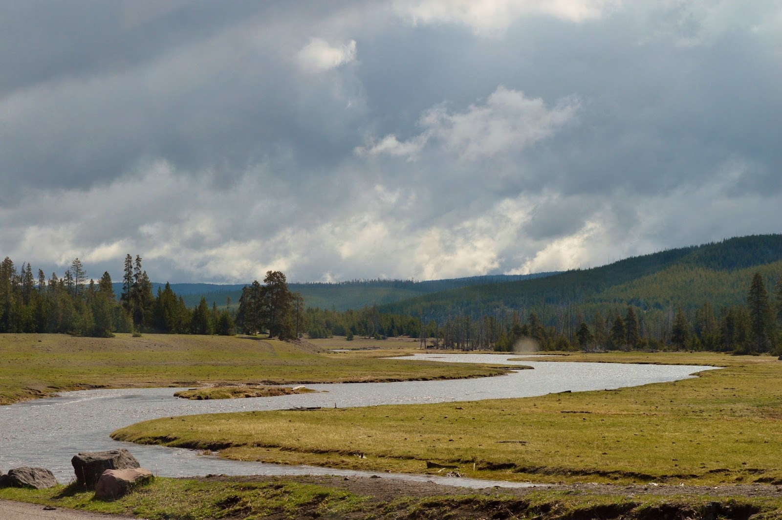
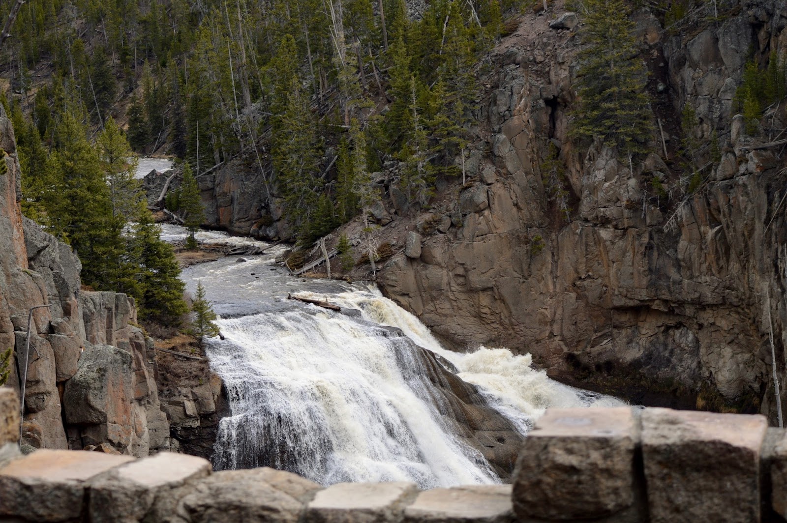
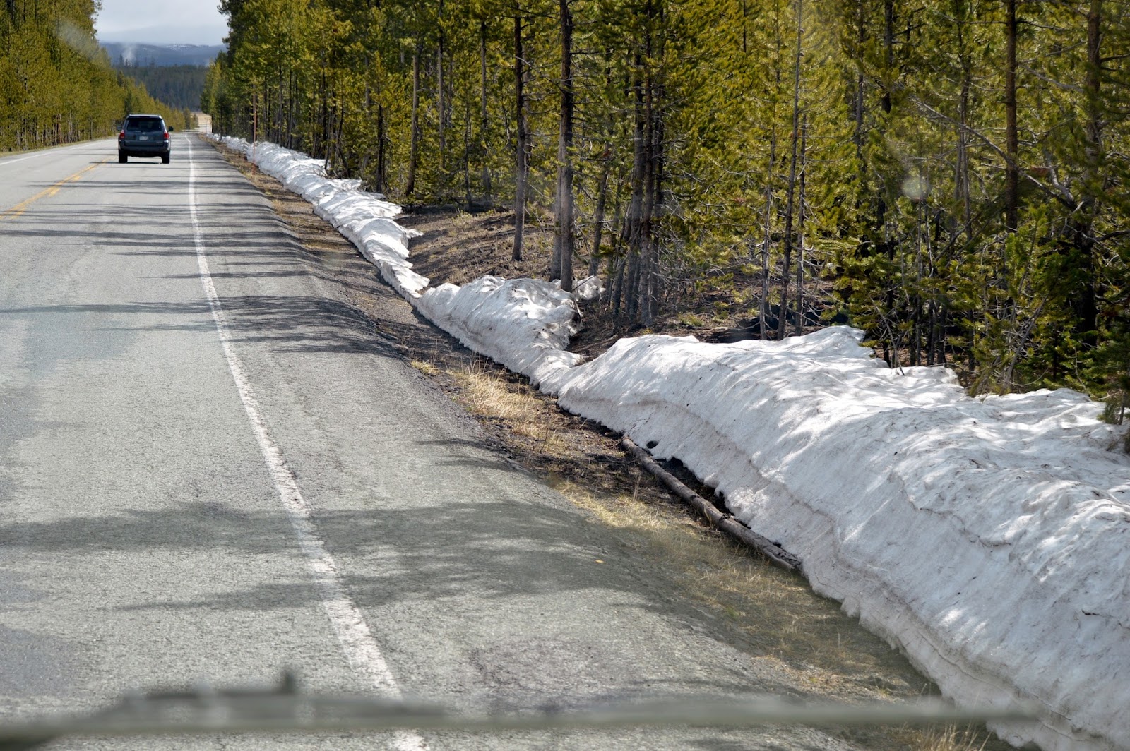 In some
of the shadier areas of the park some remaining snow could be seen along the
roadside but nothing like last year. We
were making our way north and had the “joy” of going through the construction zone
between Norris and Mammoth. Beginning
last year
In some
of the shadier areas of the park some remaining snow could be seen along the
roadside but nothing like last year. We
were making our way north and had the “joy” of going through the construction zone
between Norris and Mammoth. Beginning
last year  they have been working on improving the pullouts and widening the
roads creating up to 30 min. delays.
This project will be ongoing for a couple more years and makes for some
slow, bumpy rides especially in a big RV!
they have been working on improving the pullouts and widening the
roads creating up to 30 min. delays.
This project will be ongoing for a couple more years and makes for some
slow, bumpy rides especially in a big RV!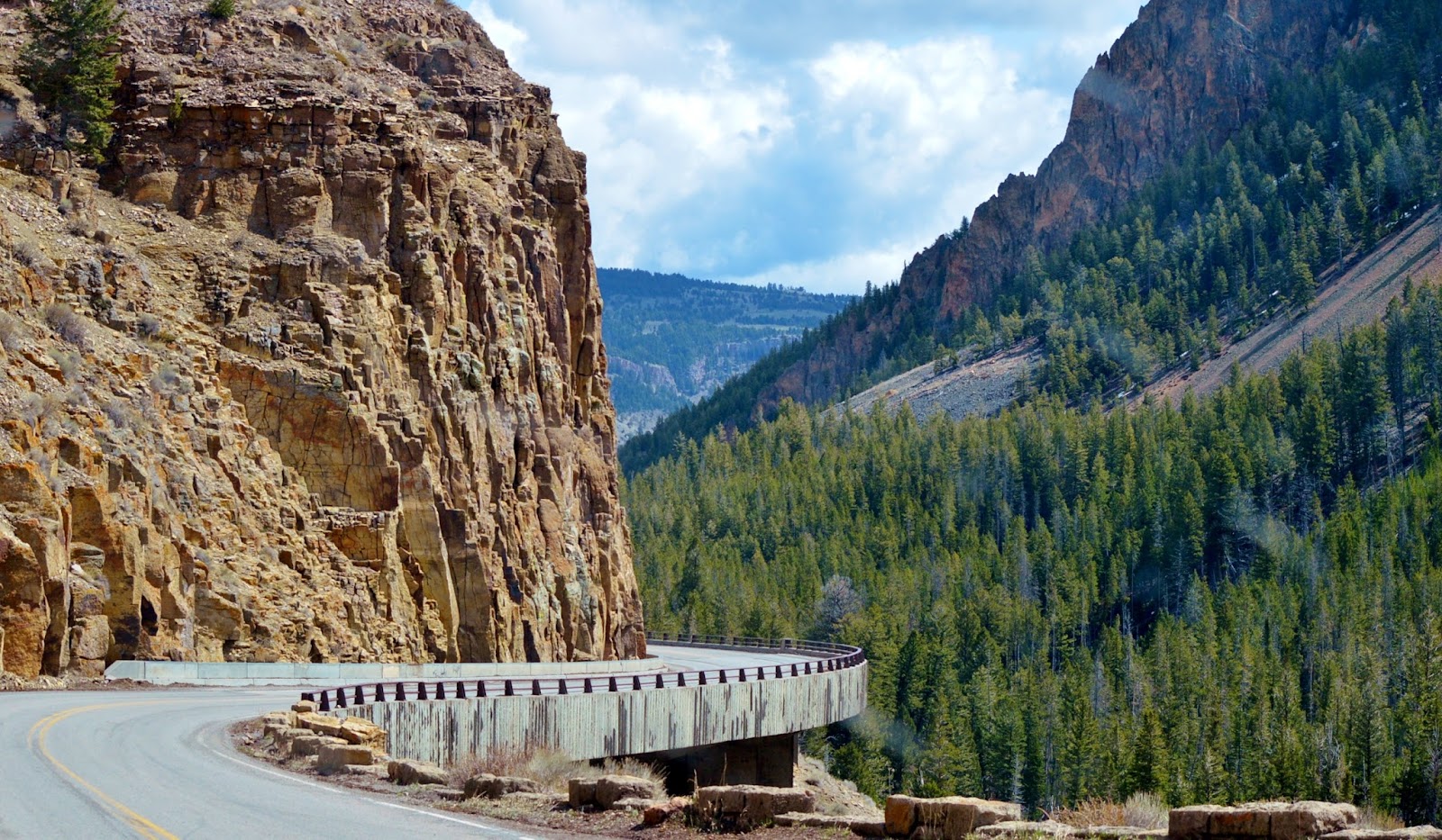 Once out of
the construction, we continued north going past
Once out of
the construction, we continued north going past 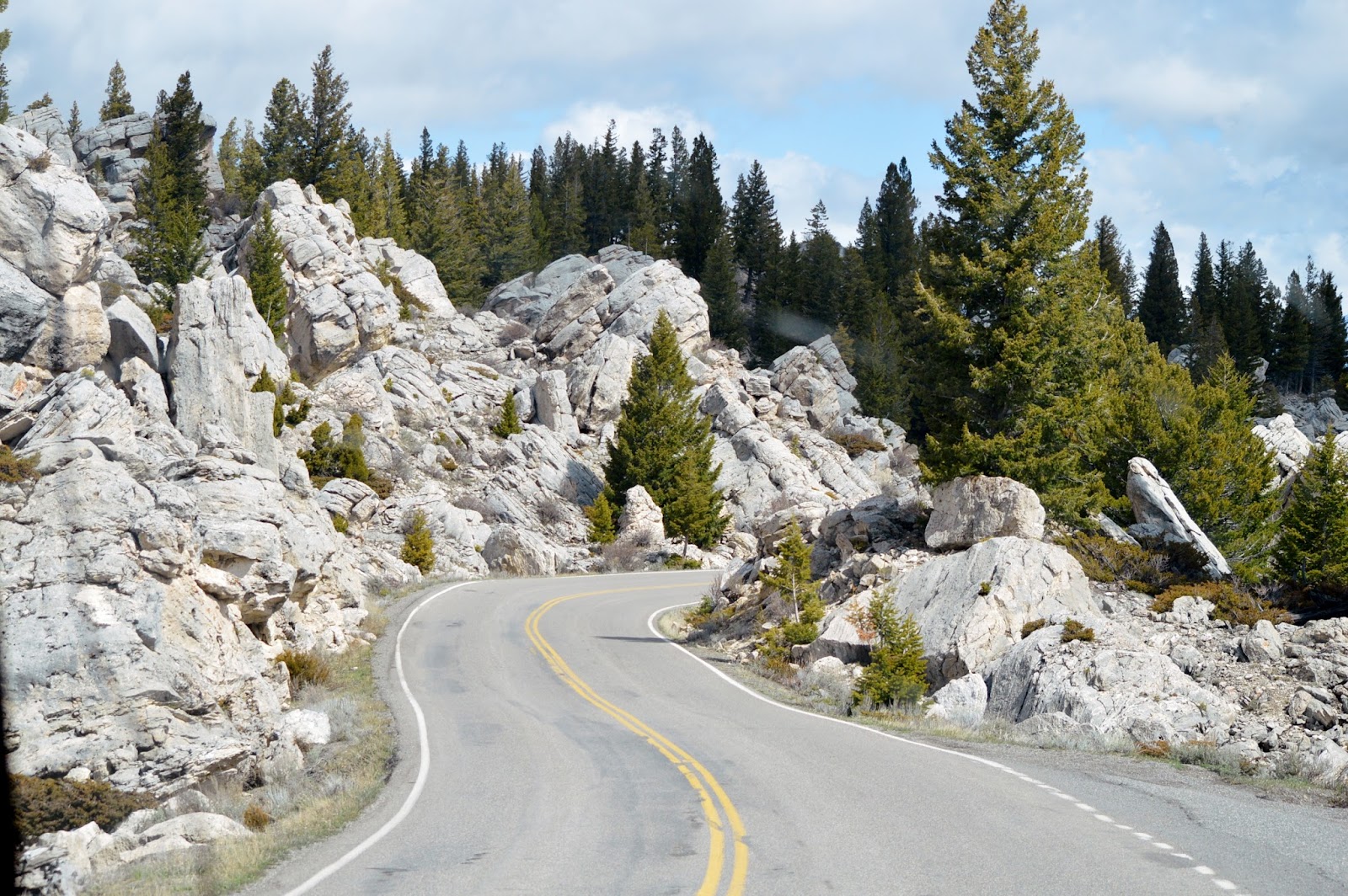 Almost directly north of Golden Gate you pass through the
Hoodoos (they look quite different than the hoodoos of
Almost directly north of Golden Gate you pass through the
Hoodoos (they look quite different than the hoodoos of 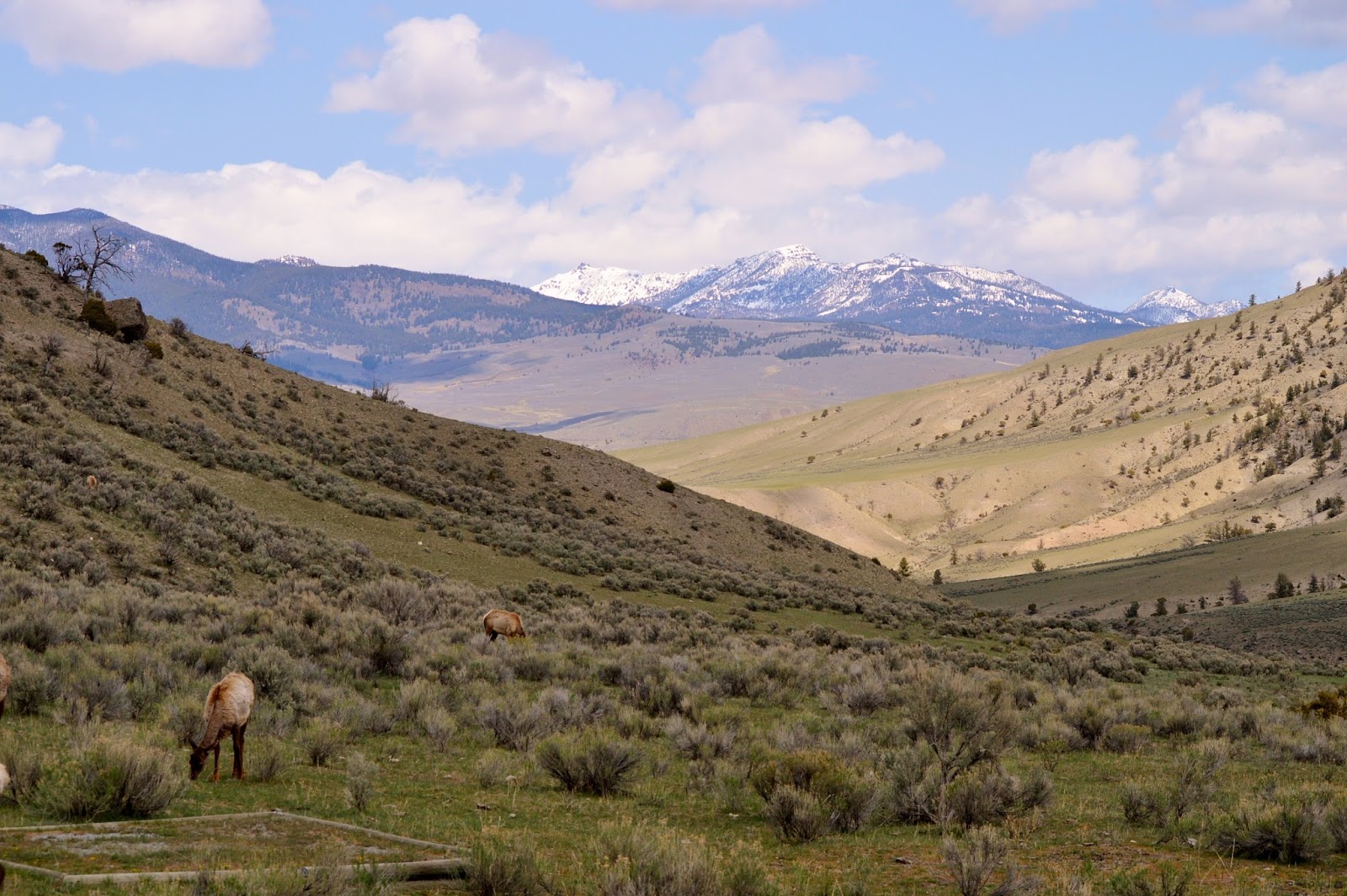 We finally arrived at Mammoth Campground and settled into
the same site we’ve had the last couple of years, the best one in our opinion
with a spectacular view down the valley.
It’s located in the lower loop which had been closed all winter and
would be opening the next day. So for
now we enjoyed
We finally arrived at Mammoth Campground and settled into
the same site we’ve had the last couple of years, the best one in our opinion
with a spectacular view down the valley.
It’s located in the lower loop which had been closed all winter and
would be opening the next day. So for
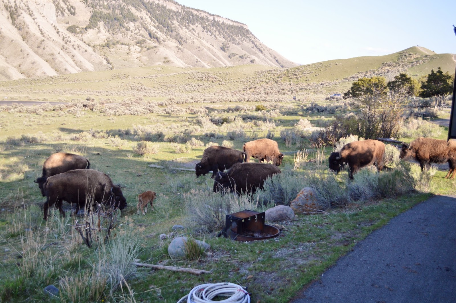
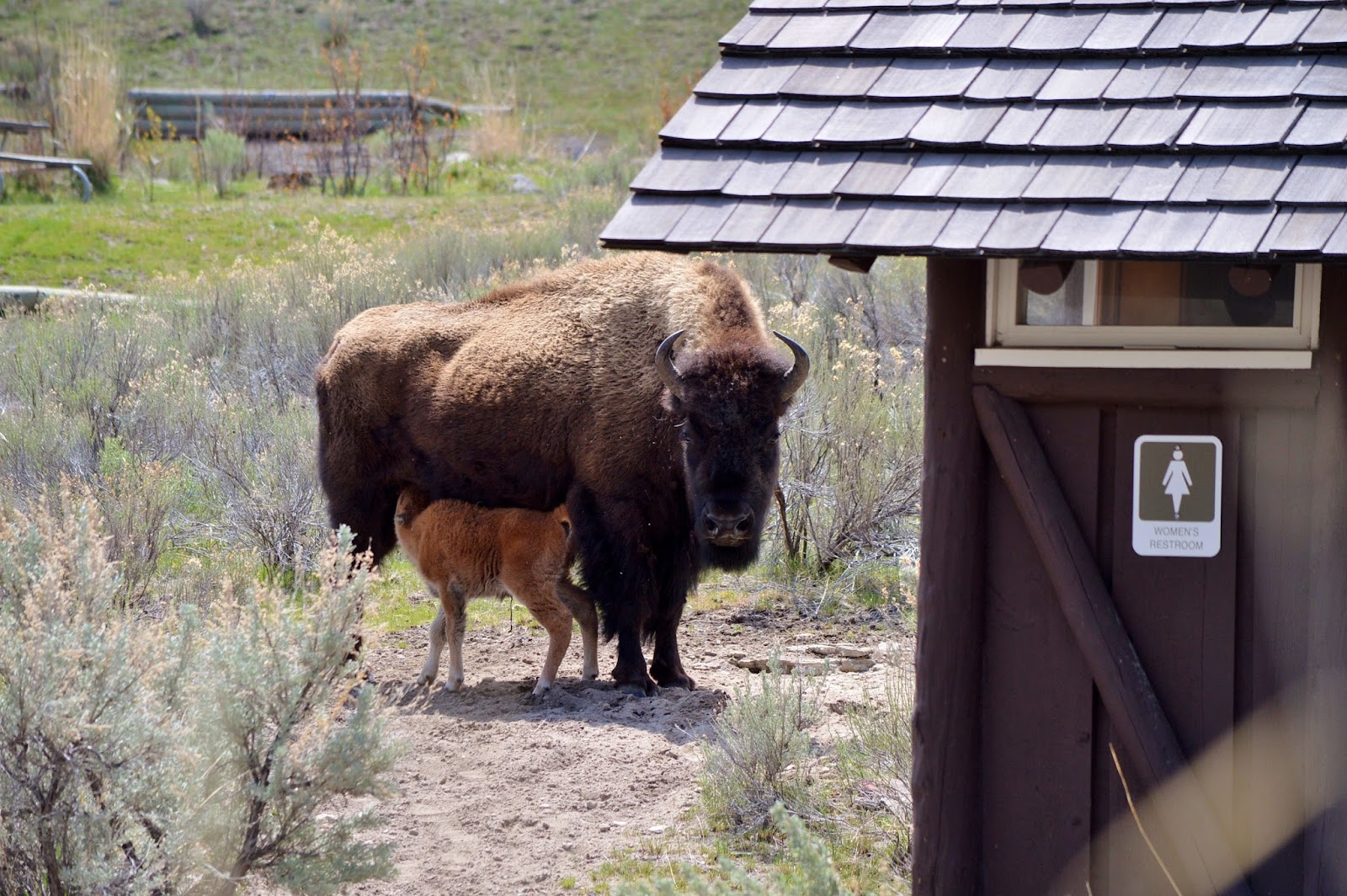
now we enjoyed  the peace and quiet and the company of the elk and bison who
came to welcome us back. As we got
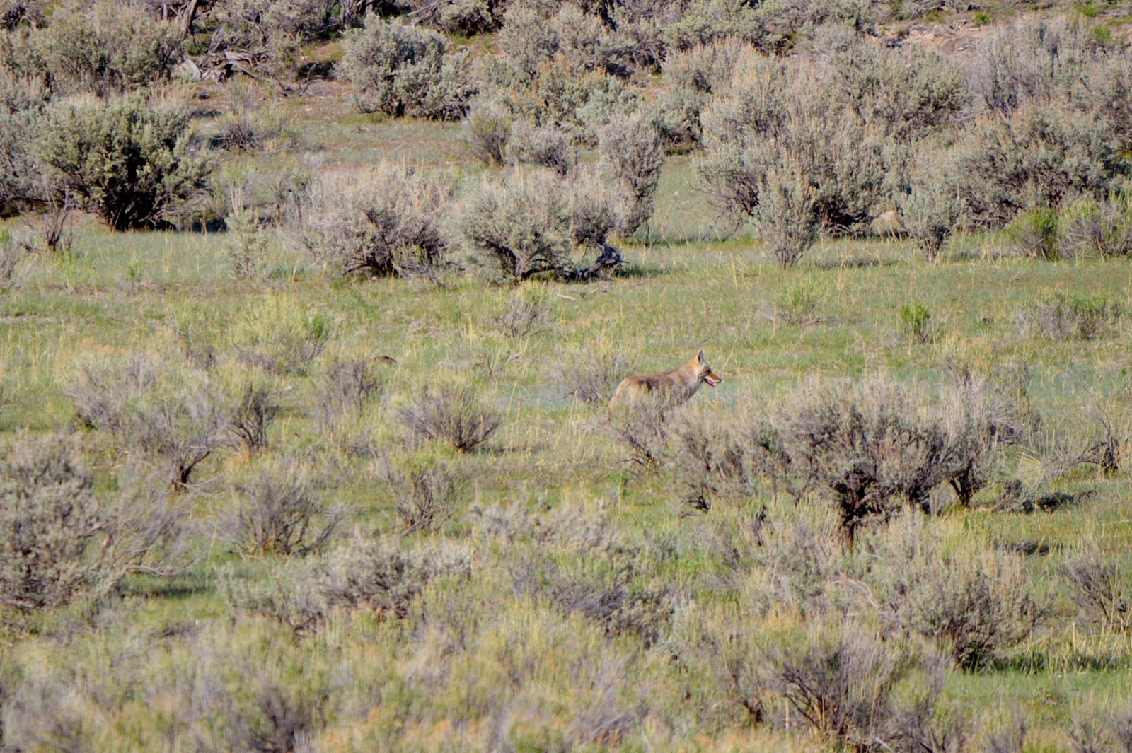
things set up, we also spotted a rabbit hopping across the site in front of us
and a coyote running through the sage out in the field. Hopefully one wasn’t going to be dinner for
the other!
the peace and quiet and the company of the elk and bison who
came to welcome us back. As we got
things set up, we also spotted a rabbit hopping across the site in front of us
and a coyote running through the sage out in the field. Hopefully one wasn’t going to be dinner for
the other!